Plate Nº 40 · recorded October 10, 2026
Space & AstronomyReported finding
Mars Express Images Purple Ice Cliff Towering Over 1 Kilometre
ESA's Mars Express orbiter captured a striking purple-toned image of Thyles Rupes, a 1-kilometre-tall tectonic cliff near Mars's south pole, rich in volcanic minerals and CO2 frost.
By Nathan Brooks3 min read651 words
In brief
- Cliffs of Thyles Rupes exceed 1 kilometre in height in places
- The cliff system extends for hundreds of kilometres across Mars's southern highlands
- Mars Express launched in 2003 and has mapped the planet for over two decades
- The cliffs formed billions of years ago as Mars's interior cooled and its crust contracted
- HRSC was developed by the German Aerospace Center (DLR) and is one of eight instruments aboard Mars Express
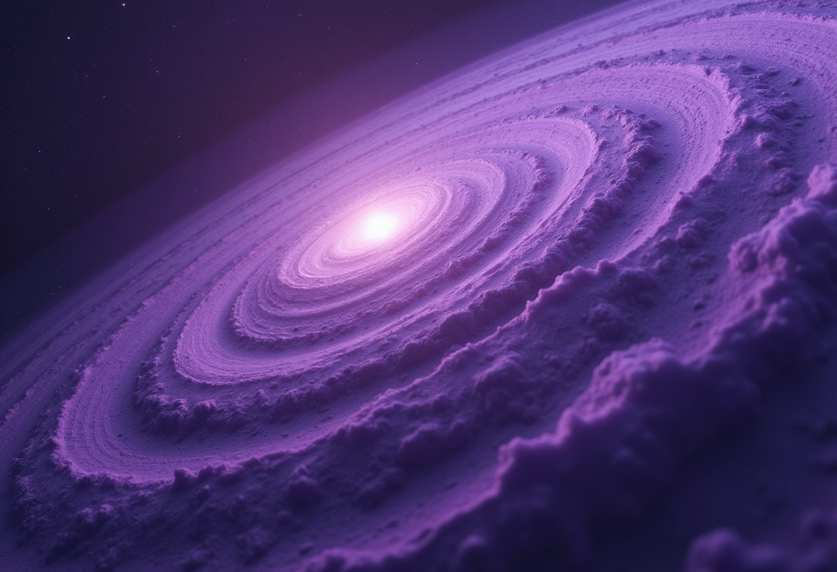
A new image from the European Space Agency's Mars Express orbiter shows ice cliffs near Mars's south pole reaching heights of more than 1 kilometre, painted in berry-toned purples, pinks and reds.
The view marks a sharp break from the tans, ochres, reds and browns most people associate with Mars, shades that come from high levels of oxidised iron in the planet's dust.
What does the image actually show?
The target is Thyles Rupes, a tectonic cliff system in Mars's southern highlands. The name combines "rupes," Latin for cliff, with "Thyles," after Thule — the legendary edge of the known world in classical geography.
Mars Express captured the scene with its High Resolution Stereo Camera (HRSC). The instrument, developed and operated by the German Aerospace Center (DLR), is one of eight science packages aboard the orbiter.
Some nearby impact craters were cut through by the cliffs as they formed. Others sit on top of the cliffs, indicating the craters came later. The clash of features helps scientists read the region's history.
Why does the scene look purple?
The berry-toned palette is not the rocks themselves but a combination of light, dust, and frost. Mars's atmosphere shifts hour by hour, so the same surface can appear in different colours through a single day.
According to ESA, soft morning light, dust hanging in the air, a general ground cover of frost, and patches of mixed ice and dust scattered across the terrain together produce the striking purple result.
What are the darker and paler patches made of?
Darker regions carry volcanic material rich in "mafic" minerals such as olivine and pyroxene. Both also occur in Earth's mantle, the rock layer just beneath the crust.
Paler zones carry frosty deposits of carbon dioxide. The frost persists even in martian spring, when the image was taken. Blueish CO2 deposits sit atop sand dunes and inside craters.
A pale patch at the bottom-left belongs to a glacier, itself part of Mars's South Polar ice cap.
How tall are the cliffs, and how did they form?
Thyles Rupes extends for hundreds of kilometres across heavily cratered terrain and, in places, exceeds 1 kilometre in height. The cliffs are tectonic, formed as two sections of Mars's crust pushed against each other and one rode up above the other.
The driving engine was Mars's interior cooling and contracting, which deformed the crust above. Some blocks were shoved upward into the towering faces seen today.
Mars lacks active plate tectonics now, so the work happened billions of years ago.
What else is visible in the scene?
Different dune types crowd the frame. They include longitudinal dunes that run parallel to the wind, transverse dunes at right angles, and sickle-shaped barchanoid ridges.
Winds from many directions shaped these piles by lifting sand and dropping it in patterned fields.
Why does the icy patch look like a dip rather than a rise?
An elevation map built from stereo data shows the glacier patch as a high mound. The optical illusion comes from lighting: sunlight enters from the east, or bottom of the image, casting shadows that mislead the eye.
Flipping the image upside down can help the brain reinterpret the topography correctly.
Who processed the data?
DLR's Institute of Space Research in Berlin-Adlershof handled systematic processing. The working group of Planetary Science and Remote Sensing at Freie Universität Berlin then assembled the final image products.
Mars Express launched in 2003. The orbiter has mapped Mars in colour and three dimensions for over two decades, returning findings that have reshaped how scientists picture our planetary neighbour.
HRSC previously made headlines with a colour-enhanced image released in 2023 to mark 20 years of Mars Express operations. That snapshot highlighted the diversity of Mars's surface, with dark grey-black volcanic sands beside lighter clay- and sulphate-rich terrain.
via ESA Space Science News (Source)
More from Nathan Brooks
Nearby plates
- Mars's Oddest Cloud May Be Even Odder Than We Thought
- Mars Express Releases 4-Minute Aerial Tour of 460-km Schiaparelli Crater
- Perseverance rover uncovers three water histories in Jezero Crater
- Smile Mission Delivers First Ultraviolet Footage of Earth's Full Aurora Ring
- Mars' North Pole Holds Far Less Dust Than Scientists Believed