Plate Nº 38 · recorded November 17, 2026
Earth & ClimateReported finding
One-Minute Satellite Winds Improve Typhoon Intensity Forecasts
Rapid-scan winds from China's Fengyun-4B satellite, tested on 12 typhoons, cut 6-hour intensity forecast errors and expose rapid structural storm changes.
By Elena Vasquez3 min read551 words
In brief
- Tropical cyclones killed nearly 780,000 people and caused about $1.4 trillion in losses from 1970 to 2019.
- Fengyun-4B provides wind estimates every 1 minute, versus 10–15 minutes for typical satellites.
- Researchers tested the VORm vorticity indicator on 12 typhoons from 2022 to 2025.
- Adding VORm reduced 6-hour intensity forecast errors on average.
- The study was published in AGU Advances in 2026.
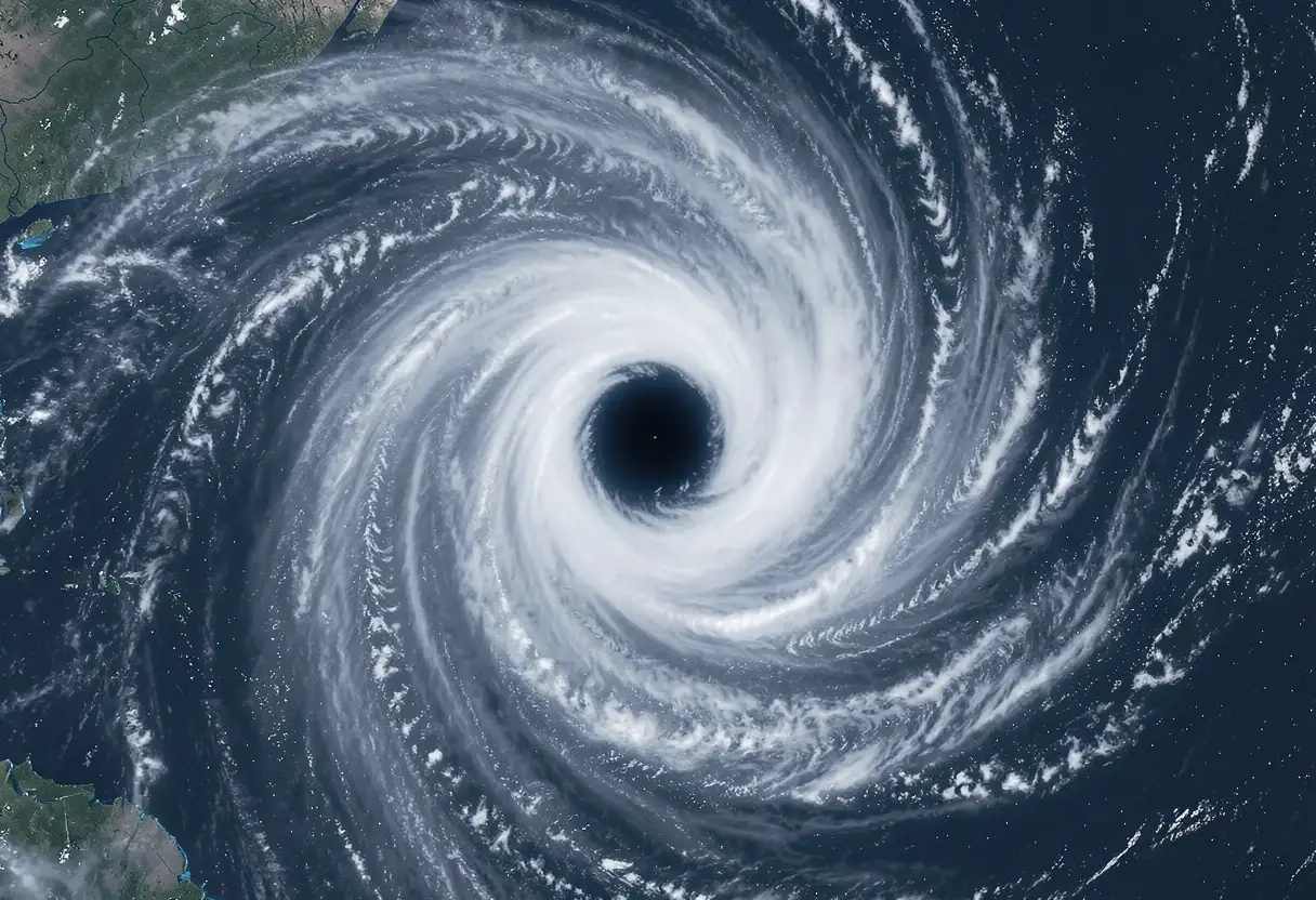
Between 1970 and 2019, tropical cyclones killed nearly 780,000 people worldwide and caused roughly $1.4 trillion in economic losses. Now researchers have found a new clue for predicting a storm's danger before it strikes: minute-by-minute satellite wind data.
A study published in AGU Advances in 2026 shows that rapid-scan observations from China's Fengyun-4B geostationary satellite can improve short-term typhoon intensity forecasts. Xia et al. derived a wind rotation indicator from the data and tested it in two statistical forecasting models. They analyzed 12 typhoons from 2022 to 2025.
Why does intensity forecasting lag behind track forecasting?
Modern weather prediction relies on satellites, fixed buoys, and other observation systems to chart a storm's path, speed, and landfall location. Track forecasts have improved significantly, gaining roughly 1 day of lead time per decade.
Intensity prediction is the stubborn problem. Forecasters still struggle to capture intensification — how quickly a storm strengthens or weakens. Getting that wrong cuts both ways. False alarms erode public trust. Underplaying hazards costs lives.
The stakes keep climbing. Coastal populations keep growing, and research suggests typhoons are getting stronger and making landfall more often. Accurate forecasting is essential for saving lives and reducing economic damage.
What makes Fengyun-4B different?
It's all about frequency. The Fengyun-4B satellite yields wind estimates at intervals as short as 1 minute. Other satellite sources typically offer updates only every 10 to 15 minutes.
That speed matters because storms change fast. High-frequency observations can catch rapid structural changes that slower scans miss entirely.
From these winds, the authors calculated area-mean upper-level vorticity, or VORm — a measure of wind rotation within 100 kilometers of a typhoon's center. In plain terms, VORm tracks how the storm's spinning core is evolving.
VORm closely follows the evolution of tropical cyclone intensity. It can also reveal rapid structural changes in a storm, details that are difficult to capture with less frequent observations. That structural information is exactly what current intensity models tend to lack.
What did the forecasting tests show?
The results are promising but preliminary. On average, adding VORm to the models reduced 6-hour forecast errors.
The gains weren't uniform, though. Improvements varied among the 12 storms studied. The benefits also shrank when the models already included recent intensity changes — storms with an obvious recent trend left less room for the new indicator to add value.
The authors' conclusion is measured: VORm offers useful complementary information but should not replace the intensity and environmental predictors currently in use. It's an addition, not a substitute.
What happens next?
The study demonstrates the potential of high-frequency wind observations for short-term typhoon intensity prediction. Rapid-scan data from Fengyun-4B gives forecasters a quick way to calculate vorticity and fold storm structure information into intensity models.
Twelve typhoons over four years is a limited sample. Whether the improvements hold across larger datasets and other storm basins remains to be tested. Still, the approach points to a practical payoff: better warnings when a storm is about to explode in strength.
The takeaway: One-minute satellite wind data sharpened 6-hour typhoon intensity forecasts — a small but real step toward predicting not just where a storm goes, but how bad it gets.
via eos.org/feed (Source)
More from Elena Vasquez
Show full bio
Correspondent covering money, funding and market shifts around general science news at SciBeat.
503 articles
Nearby plates
- Four warning signs predict when a tilted hurricane will strengthen
- Better Hurricane Maps Help People See Risk but Not Feel It
- Hidden Weather Systems Drive More Tropical Rain Than Cyclones
- NASA Satellites Track What May Be the Strongest El Niño Since 1950
- Researchers Warn 2026–27 Super El Niño Could Hit Food and Health