Plate Nº 83 · recorded October 30, 2026
Earth & ClimateReported finding
Antarctica's 'Doomsday Glacier' May Double Earlier Sea Level Rise Estimates
A new UC Irvine–NASA model finds warm seawater penetrating kilometers beneath Thwaites Glacier, doubling projected sea level rise to 30 mm by 2100 — without any additional warming.
By James Calloway4 min read803 words
In brief
- New model projects Thwaites Glacier could add up to 30 millimeters to global sea levels by 2100 — double earlier estimates, without additional warming.
- Simulations show a 60% probability the glacier detaches from its stabilizing Mouginot Ridge before 2100 when a 4–6 km grounding zone is included.
- Warm ocean water penetrates several kilometers beneath grounded ice; tides repeatedly expose the ice underside to pressurized seawater.
- The Amundsen Sea Embayment, where Thwaites sits, accounts for about one third of total Antarctic Ice Sheet mass loss.
- Study published October 28, 2026, in Nature Communications by UC Irvine and NASA JPL researchers.
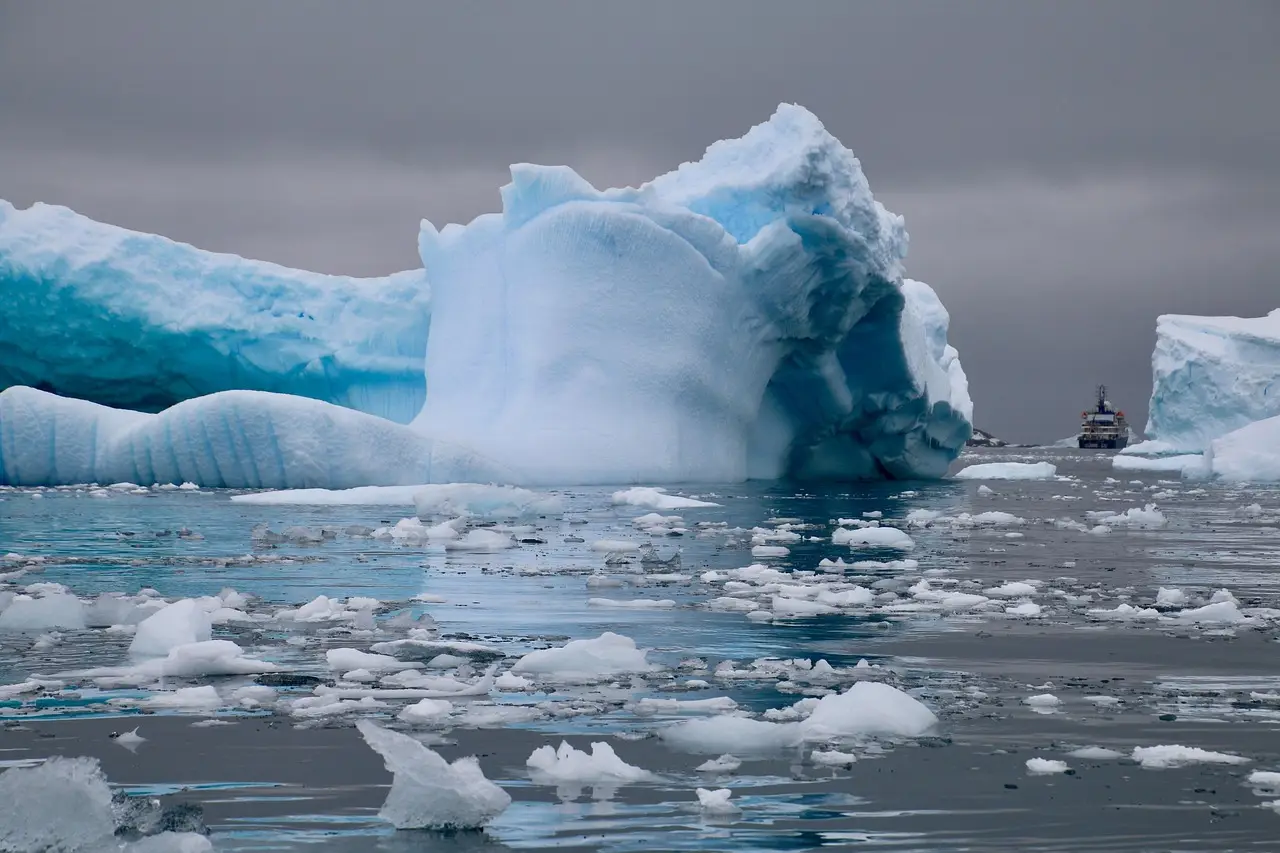
Thwaites Glacier could raise global sea levels by up to 30 millimeters by 2100 — double earlier projections — even if the climate stops warming today. That is the central result of a new computer model built by researchers at the University of California, Irvine, and NASA's Jet Propulsion Laboratory, published October 28, 2026, in Nature Communications.
The finding matters because Thwaites, nicknamed the "Doomsday Glacier," sits in West Antarctica's Amundsen Sea Embayment, a region that accounts for roughly one third of the Antarctic Ice Sheet's total ice loss. The glacier has thinned and retreated quickly over recent decades. Satellites show its ice flowing faster and faster. Yet traditional models kept failing to reproduce that acceleration. So the team went looking for what the models were missing.
They found it underneath the ice.
What was wrong with the old models?
Scientists used to treat the boundary where grounded ice leaves the seafloor and starts floating — the "grounding line" — as a thin, mostly stable line. The new work replaces that line with a "grounding zone": a region that can stretch several kilometers wide, where warm ocean water pushes deep beneath grounded ice.
"Glaciologists have long based their assumptions of ice sheet dynamics on the 'grounding line,' a discreet, narrow and mostly stable demarcation where ice leaves the land and begins floating on water," said lead author Mattia Poinelli, who worked on the study as a UC Irvine postdoctoral scholar in Earth system science. "We have come to acknowledge a different arrangement beneath Earth's major ocean-terminating glaciers. Satellite observations demonstrate the existence of a 'grounding zone,' sometimes kilometers wide, where warm ocean water is reaching deep underneath the ice sheets and causing vigorous melting."
When the researchers built this broader zone into their simulations, the model reproduced the glacier's historical changes from the 1990s to the present far better than before — changes that were four times more pronounced than conventional models captured.
How does seawater get under a glacier?
The mechanism is blunt. Seawater travels several kilometers beneath ice still anchored to the seafloor. As tides rise and fall, that water lifts the ice and repeatedly exposes its underside to warm, pressurized seawater. Ocean currents — themselves altered by climate change — deliver the warm water to Antarctica's coastline.
The evidence is not purely simulated. The team compared its results against more than two decades of satellite observations, plus synthetic aperture radar measurements from Finland's ICEYE satellite constellation. Those radar data showed fluctuations extending across several kilometers of the grounding zone along the glacier's main trunk.
What does this change for coastal cities?
The practical question is flooding. If the new model holds, scientists have been systematically underestimating how much ice Thwaites will surrender, and coastal regions face greater flood exposure in the coming decades than earlier assessments assumed.
"We have documented and quantified the impacts of climate change on our planet's sensitive ice sheets for decades, but a mounting realization gained in recent years of what is happening on the undersides of glaciers like Thwaites is leading to an even greater sense of alarm," said co-author Eric Rignot, professor of Earth system science at UC Irvine. "Most projections up to the present have struggled to match the rapidity of the mass loss because of missing physics; our new model with more complete physics is able to match the record and then produces projections that are twice as large as before."
Could the glacier lose its anchor?
The study also flags a specific tipping point. Water moving beneath Thwaites is weakening its grip on underwater ridges that hold it in place. The glacier's main trunk is currently pinned by the Mouginot Ridge. Once that ridge unpins, Poinelli said, "the glacier will continually retreat across a predominantly retrograde seafloor toward its next topographic high, the South Ridge."
That is not a distant hypothetical. When the model includes a grounding zone 4 to 6 kilometers across, it gives a 60% probability that Thwaites detaches from Mouginot Ridge before 2100.
A caveat, though — and there always is one. This is a single model, and a model is only as good as its physics and its calibration. Poinelli defends the approach: "When you factor in key physical processes and calibrate against historical observations, you gain a reliable pathway for narrowing uncertainty in projections." The model does match the observed record better than its predecessors. That is encouraging. It is not proof. Twenty-two years of observations and one satellite constellation underpin the claims; continued monitoring will tell whether the doubling holds.
For now, the safest reading is this: the plausible worst case for Thwaites just got worse, and coastal planners should treat 30 millimeters of sea level rise from one glacier alone as a live possibility rather than a tail risk.
via dx.doi.org (Original)
More from James Calloway
Show full bio
Staff writer covering regulation, policy and their impact on general science news at SciBeat.
267 articles
Nearby plates
- A 76-Square-Kilometer Ice Island Breaks Free From Petermann Glacier
- Arctic Sea Ice Ties for 10th-Lowest Minimum in 2026 Satellite Record
- Arctic winter sea ice loss may exceed forecasts by 1 million
- Antarctica Gained 695 Billion Tons of Ice. The Trigger Was Thousands of Miles Away
- Arctic Melt Season Grew 40 Days Longer Since 1979—Then Stalled in 2010