Plate Nº 20 · recorded October 10, 2026
Earth & ClimateReported finding
Cascadia megaquake could shake northern Oregon 17% harder than expected
Researchers using 192 seismometers report the Juan de Fuca plate sits about 5 kilometers shallower than older maps show, raising shaking forecasts by 9 to 17% along northern Oregon's coast.
By Marcus Bennett3 min read670 words
In brief
- Slab interface sits about 20 km deep near the Oregon coast, roughly 5 km shallower than previous estimates.
- Peak ground acceleration from a Cascadia megathrust quake could rise by 9 to 17% along northern Oregon's coast.
- Researchers deployed 192 temporary nodal seismometers across northern Oregon during the summers of 2021 and 2022.
- The team produced the first direct seismological measurements of a deep sedimentary basin beneath Tillamook.
- USGS seismologist Erin Wirth presented the results on August 30, 2026 at the SSA Annual Meeting.
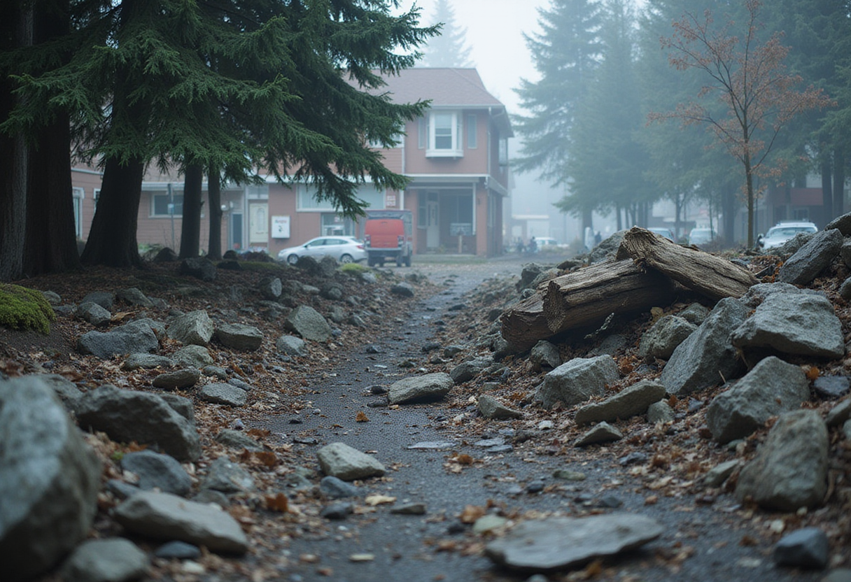
Peak ground shaking from a future Cascadia megathrust earthquake could strike northern Oregon 9 to 17% harder than prior estimates suggested, according to seismic data presented August 30, 2026 at the Seismological Society of America Annual Meeting.
The new analysis suggests the Juan de Fuca tectonic plate lies about 20 kilometers beneath the Oregon coastline, roughly 5 kilometers shallower than earlier estimates. Erin Wirth, a seismologist with the U.S. Geological Survey who led the research, described the revision at the meeting.
"We estimate that the slab interface is about 20 kilometers [deep] near the coastline, which is about 5 kilometers shallower than previous estimates," Wirth said.
A shallower rupture matters because the seismic energy has less distance to travel before reaching the ground above. In deeper earthquakes, that energy spreads out and weakens before it arrives.
How deep is the Juan de Fuca plate beneath Oregon?
The Juan de Fuca plate slides beneath the North American plate along the Cascadia subduction zone, a fault that has produced magnitude 9 earthquakes in the past. Northern Oregon sees far fewer small earthquakes than western Washington or northern California, leaving scientists with less data on the buried slab there.
To close that gap, Wirth and her colleagues placed 192 temporary nodal seismometers along Oregon's northern coast during the summers of 2021 and 2022. The instruments stretched from Tillamook to Portland.
The team combined those land readings with a complementary offshore survey that recorded seismic waves from Vancouver Island to northern California in 2021. That study, published in Science Advances in 2024, also pointed to a shallower slab than older models assumed.
Together, the two datasets produced the most detailed map to date of how the Cascadia subduction zone looks beneath northern Oregon.
Why does a shallower slab mean stronger shaking?
Earthquake ruptures that break closer to the surface deliver more of their energy to buildings above. Deeper ruptures give waves more time to spread out and weaken.
"This could increase estimated peak ground acceleration -- in other words, shaking intensity -- from Cascadia megathrust earthquakes by approximately 9 to 17%," Wirth said, referring to the northern Oregon coast.
The percentage range reflects uncertainty about how a single depth change translates into ground motion at any specific site. Hazard maps built from older depth assumptions may now need an upward adjustment.
What did the Tillamook basin reveal?
The team also detected a deep sedimentary basin beneath Tillamook, a coastal Oregon city about 75 miles west of Portland. The new measurements provide the first direct seismological constraints on the basin's shape and depth.
"Sedimentary basins can amplify ground shaking during an earthquake and have been well-studied in other parts of the Pacific Northwest such as the Seattle Basin," Wirth explained.
In these basins, soft sediment behaves like Jell-O in a bowl. Seismic waves rattle the weak material, and the basin edges can trap the waves so shaking lasts longer. Tall buildings and other large structures face the greatest risk from this amplification.
"Characterizing the presence of a sedimentary layer, as well as its likely thickness, helps scientists to more accurately estimate ground shaking from future earthquakes," Wirth added.
What gaps remain?
The findings remain preliminary. The 9 to 17% figure comes from a conference presentation, not yet a peer-reviewed publication. The basin shape relies on the first direct measurements of its kind and needs independent confirmation.
Wirth said the team plans to use the same nodal seismometer dataset to study the Tualatin Basin, a separate sedimentary feature near Portland. Mapping that basin could refine hazard forecasts for Oregon's largest metro area.
Scientists will also need to fold the new slab depth into computer models that simulate how a full Cascadia rupture would shake the region. Those simulations drive building codes, tsunami evacuation maps, and emergency planning across the Pacific Northwest.
Even with those caveats, the work narrows one of the biggest data gaps in Cascadia hazard science. It also points to areas where shaking estimates may need an upward revision.
via dx.doi.org (Original)
More from Marcus Bennett
Nearby plates
- Two West Coast Faults May Rupture Hours Apart, Study Finds
- Southern California Faults Hit 1,000-Year Stress High, Study Finds
- Pacific Northwest Subduction Zone Is Tearing Itself Apart
- 362 Hidden Earthquakes Detected Under Antarctica's Doomsday Glacier
- A Lost Kilometer-High Cliff May Explain the Grand Canyon's Missing Billion Years