Plate Nº 39 · recorded October 10, 2026
Earth & ClimateReported finding
Chile's Atacama Desert Blanketed in Rare August Snow
August 2026 storms dumped ~40mm of rain on Chile's Taltal—about 10x its annual average—and blanketed parts of the hyperarid Atacama Desert in snow, shutting down observatories and triggering floods.
By James Calloway3 min read630 words
In brief
- August 2026 storms dumped nearly 40 mm of rain on Taltal in three days—about 10 times its annual average
- ALMA radio telescope suspended operations and placed its antennas in protective survival mode
- NASA's Landsat 8/9 captured before-and-after images of the Chajnantor plateau on August 6 and August 14, 2026
- Chile's SENAPRED reported thousands of people affected and hundreds of homes with major damage
- Similar rare snow events in the Atacama occurred in 2025 and 2011
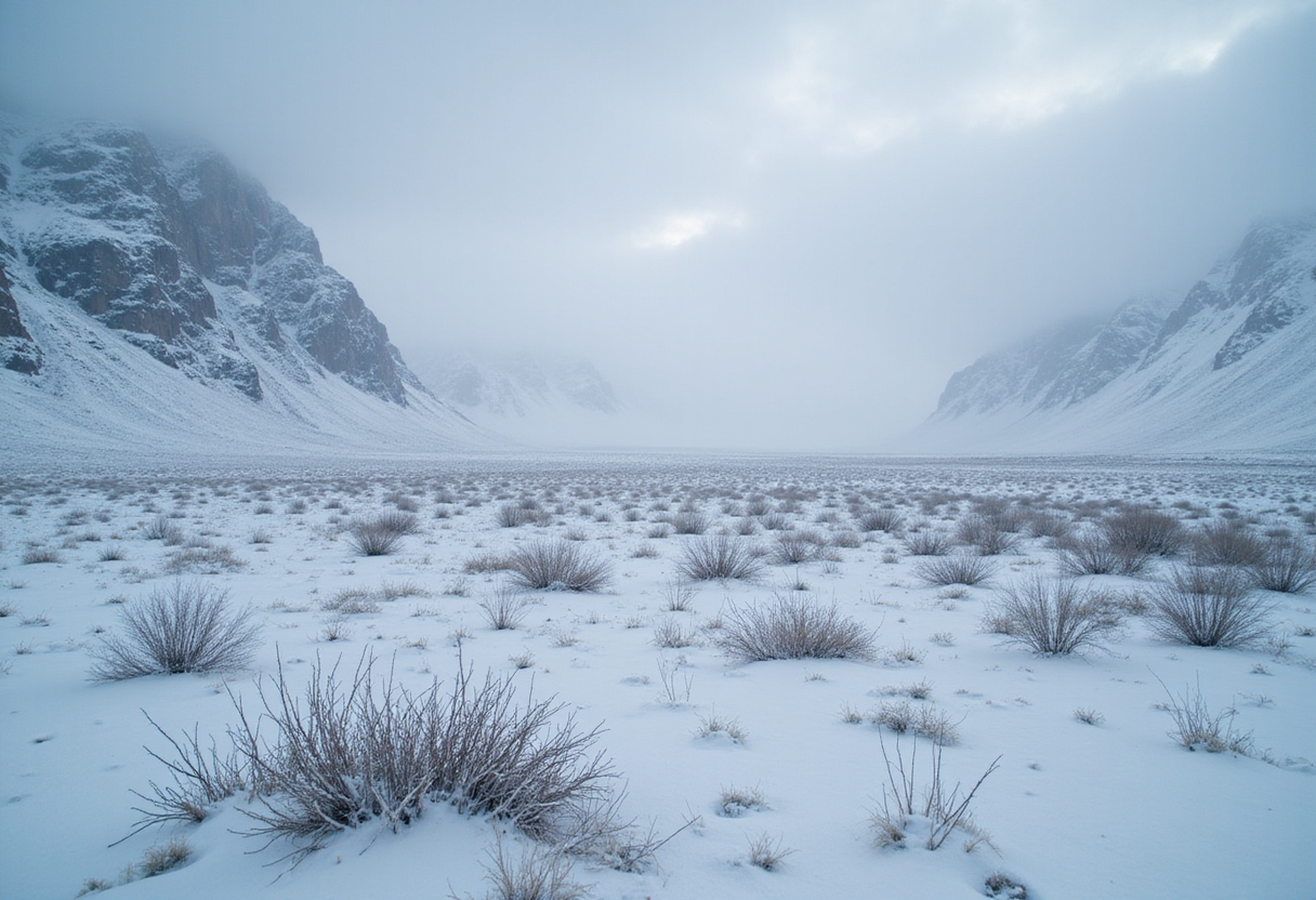
August 2026 storms dumped nearly 40 millimeters of rain on the Chilean coastal city of Taltal—roughly 10 times its annual average—and blanketed parts of the hyperarid Atacama Desert in snow, triggering floods and shutting down major observatories.
Precipitation totals across the region reached levels "rarely seen in the otherwise extremely arid region," according to René Garreaud, an atmospheric scientist at the University of Chile. Garreaud also noted: "We see these kinds of events only a few times, if any, per decade."
What did the storms do?
Between August 6 and August 14, a series of winter storms swept across northern Chile. The Operational Land Imager (OLI) aboard NASA's Landsat 8 and Landsat 9 satellites captured before-and-after images documenting the dramatic transformation of the Chajnantor plateau, a high-elevation site within the Altiplano-Puna volcanic complex.
That plateau hosts the Atacama Large Millimeter/submillimeter Array (ALMA), one of the world's most powerful radio telescopes. As heavy snow and strong winds battered the site, ALMA suspended operations and placed its antennas into protective survival mode.
A second storm later in August spread snow even further. An August 19 image from the MODIS instrument aboard NASA's Terra satellite shows the white cover stretching westward across the hyperarid core of the Atacama.
The snow reached the Pacific coast south of the Chilean port of Antofagasta. Several other observatories in the coastal region also paused work during the storm.
How unusual was this?
Snow in the Atacama is rare but not unprecedented. Similar events struck in 2025 and 2011. But the August 2026 storm stood out for its reach, spreading from the Andes across the desert toward the Pacific.
What drove the storms?
Most winter precipitation reaching northern Chile arrives via cutoff lows—low-pressure systems that break away from the jet stream, the high-altitude current of air that steers weather. Garreaud said this same setup produced the notable 2025 snowfall.
The late-August 2026 storm developed under more unusual conditions. It broke away from an exceptionally large trough—an elongated region of relatively low atmospheric pressure—that stretched across a huge portion of the Southern Hemisphere from the southern tip of South America into the subtropics.
Combined with abundant moisture near the coast, the disrupted pattern generated precipitation across an exceptionally broad area:
- Offshore
- Along the coastline
- Through the desert's center
- Over the Andes
How much rain fell?
Not all of the precipitation came as snow. Along parts of Chile's northern coast, it fell as heavy rain. In Taltal, the nearly 40 millimeters (about 1.6 inches) that accumulated over three days equaled roughly 10 times the city's average annual rainfall.
What were the consequences?
The intense precipitation triggered mudflows and flash flooding across northern Chile. Chile's National Disaster Prevention and Response Service (SENAPRED) reported:
- Thousands of people affected
- Hundreds of homes suffering major damage
What role did El Niño play?
Garreaud pointed to a strengthening El Niño as an important backdrop. El Niño is a periodic warming of tropical Pacific waters that reshapes global weather patterns.
During El Niño years, the subtropical Pacific high—a semi-permanent zone of high pressure that ordinarily keeps northern Chile dry—tends to weaken. At the same time, a blocking high—a stationary area of high pressure that redirects weather systems—is more likely to form over the South Pacific near the southern tip of the continent.
Together, these changes shift the Southern Hemisphere storm track closer to the equator, allowing powerful systems to reach areas that are normally extremely dry.
August's storms were not the first major events of the season. A significant July event also produced impacts in Chile's Norte Chico region, a semi-arid area south of the Atacama proper.
via scitechdaily.com (Original)
More from James Calloway
Show full bio
Staff writer covering marketplaces and e-commerce at SciBeat.
205 articles
Nearby plates
- Soviet-Era Satellite Breaks Apart, Adding Tens of Debris Fragments to Orbit
- Hot Droughts Triple Extreme Downpour Frequency, Study Finds
- Interstellar comet 3I/ATLAS holds unusually high methanol levels
- Astronomers image Betelgeuse's hidden companion after century-long search
- Back-to-Back Arctic Storms Can Double Sea Ice Loss, Study Finds