Plate Nº 88 · recorded October 10, 2026
Earth & ClimateReported finding
Elephant Butte Reservoir Falls to 1.4% Capacity, Its Lowest Level Since 1971
Elephant Butte Reservoir, New Mexico's largest, fell to 1.4% capacity on July 27, 2026 — its lowest reading since 1971. NASA satellite data document decades of decline under drought and record-early snowmelt.
By Priya Raman3 min read556 words
In brief
- Elephant Butte Reservoir, New Mexico's largest reservoir, dropped to 1.4% of its capacity on July 27, 2026.
- That level is the reservoir's lowest reading since 1971, breaking the previous low of 2.9% set on July 8, 2013.
- The 2026 drought coincided with the earliest snowmelt on record in the southern Rocky Mountains, which feed the Rio Grande headwaters.
- The reservoir was nearly full on June 2, 1994 and remained relatively high through most of the 1985–2000 period.
- State officials ended agricultural water releases after July 28, 2026, allowing the reservoir to start a slow rebound.
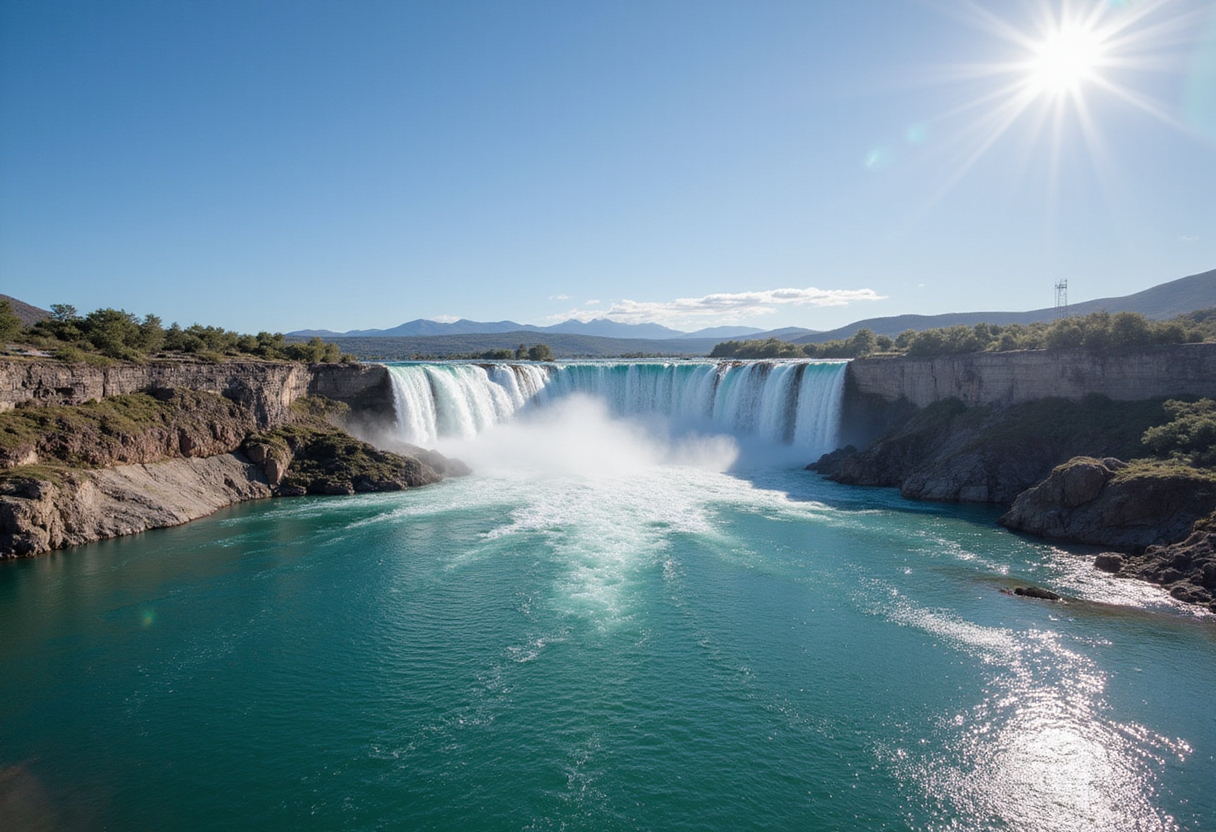
Elephant Butte Reservoir, New Mexico's largest reservoir, dropped to just 1.4 percent of its capacity on July 27, 2026, according to NASA Earth Observatory satellite imagery. The reading marks the lowest water level the reservoir has reached since 1971.
How low is 1.4 percent?
Earlier snapshots in NASA's archive tell the story in three frames: the lake appeared nearly full on June 2, 1994; water levels remained relatively high for much of 1985 through 2000; and during another severe drought the reservoir sank to 2.9 percent capacity on July 8, 2013 — a previous low that 2026 has now surpassed.
What did the falling water expose?
The 2026 drawdown pulled the shoreline back far enough to reveal debris that had rested underwater for years. Sediment piled over boat ramps at Elephant Butte Lake State Park, restricting access at a popular New Mexico recreation site.
The reservoir appears to have bottomed out for the year in late July. According to state officials, agricultural water releases ended after July 28, allowing the lake to begin a slow rebound.
Why did the basin reach this point?
Two overlapping pressures emptied the reservoir in 2026:
- A multi-year drought across the Rio Grande basin kept streamflow well below average.
- The southern Rocky Mountains, which feed the river's headwaters, recorded the earliest snowmelt on record, draining winter snow before summer demand peaked.
The conditions strained supplies used by farms in southern New Mexico and Texas. Crops in the irrigated valley include alfalfa, cotton, onions, pecans, and the Hatch green chiles that gave the region its culinary reputation.
The contrast between the irrigated valley and the surrounding desert has long stood out from space. When astronaut John Glenn orbited Earth in 1962, he commented on a striking green valley northwest of El Paso, Texas, surrounded by an otherwise dry landscape. That green exists largely because of human-made reservoirs along the Rio Grande, including Elephant Butte.
How is NASA helping water managers?
NASA's Western Water Action Office, or WWAO, supports several projects that turn satellite data into practical tools for the people who decide who gets water and how much.
- One team built a model that merges NASA satellite measurements of soil moisture and evapotranspiration — the water that leaves soil and plants back into the air — into a near-real-time system. The system supplements the allocation methods the Elephant Butte Irrigation District already uses.
- A second effort combines satellite measurements of water surface height with drone flights and ground instruments. Researchers use the merged data to study how groundwater pumping affects the Rio Grande's flow, information the WWAO says can guide water-rights decisions.
- NASA scientists also participate in a federal study of the Upper Rio Grande. The work aims to estimate future water availability and build data-driven planning tools that managers can use as conditions evolve.
What comes next for the Rio Grande?
Communities and water users in both New Mexico and Texas depend on a mix of surface water and groundwater throughout the valley. Managing those limited supplies will require ongoing decisions about storage, allocation, and sharing.
Whether 2026 becomes a one-year event or part of a longer-term shift depends on winter snowfall in the southern Rockies and the choices managers make with every acre-foot of river flow.
via nytimes.com (Original)
More from Priya Raman
Show full bio
Senior reporter covering industry trends and analytics at SciBeat.
207 articles
Nearby plates
- Lake Powell Hits Record Low as Snow Drought Strains the Colorado River
- Some rivers lost flow between 1951 and 2020 even as rainfall rose
- A Lost Kilometer-High Cliff May Explain the Grand Canyon's Missing Billion Years
- Hot Droughts Triple Extreme Downpour Frequency, Study Finds
- Asian Water Tower Loses 24 Billion Tonnes of Groundwater a Year