Plate Nº 74 · recorded October 10, 2026
Earth & ClimateReported finding
A Lost Kilometer-High Cliff May Explain the Grand Canyon's Missing Billion Years
A kilometer-high escarpment from Rodinia's breakup 800 million years ago may have exposed the Grand Canyon's basement rocks and explain the Great Unconformity.
By Elena Vasquez4 min read704 words
In brief
- An ancient escarpment about 800 million years old may have reached roughly 1 km in height and extended for thousands of kilometers.
- The study, published in Geology on August 20, 2026, was led by the University of Southampton.
- Erosion along the escarpment could have removed as much as eight kilometers of rock in some locations.
- The Grand Canyon's rock record spans about two billion years, but more than half of it is missing — the Great Unconformity, a gap of over a billion years.
- The escarpment likely crossed parts of at least ten modern US states, from Arizona to Illinois.
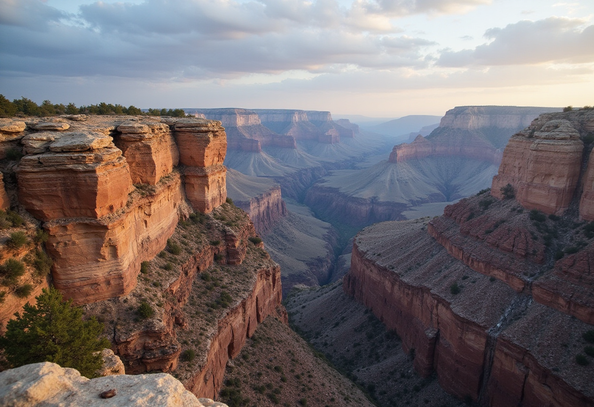
An ancient cliff system that stood roughly a kilometer high and stretched for thousands of kilometers may have exposed the Grand Canyon's deepest rocks nearly a billion years before the Colorado River began carving the canyon we know today.
That is the central finding of a study published August 20, 2026, in the journal Geology, led by the University of Southampton with colleagues from Germany's GFZ Helmholtz Centre for Geosciences, the University of Potsdam, and the University of Illinois Urbana-Champaign.
The researchers propose that a vast "great escarpment" — a long, steep cliff face marking the edge of a continent — formed about 800 million years ago as the supercontinent Rodinia broke apart. Over tens of millions of years, erosion along this rocky boundary stripped away enormous amounts of material, eventually uncovering ancient crystalline basement rocks now visible in the canyon walls of southern Arizona.
What Is the 'Missing Billion Years'?
The Grand Canyon preserves a geological history stretching back about two billion years. Yet more than half of that rock record appears to be absent — a mystery geologists call the Great Unconformity, a gap in the rock record spanning over a billion years.
Thomas Gernon, Professor of Earth Science at Southampton and lead author of the study, said: "Our paper suggests the Canyon's basement rocks were progressively brought to the surface as part of an immense escarpment that developed during the breakup of an ancient supercontinent. The findings also shed light on the formation of the Great Unconformity."
The team traced the proposed route of this vanished cliff system across areas that today include:
- Arizona, Utah, and Colorado
- Idaho, Wyoming, and Texas
- Oklahoma, Arkansas, Missouri, and Illinois
Powerful erosion across this enormous region eventually uncovered some of the oldest rocks in North America, with the Grand Canyon offering the best-known example.
How Do You Reconstruct a Landscape That No Longer Exists?
The researchers combined reconstructions of plate tectonic movements with models of how landscapes evolve through time. Their results indicate that when Rodinia was fragmenting, the future Grand Canyon sat in roughly the same position relative to the continental edge as major escarpments found today in South Africa and Brazil.
Over tens of millions of years, the giant cliff system would have gradually migrated inland as erosion wore it down. The researchers estimate this process could have removed as much as eight kilometers of rock in some places.
That prediction fits with independent geological evidence showing that roughly five to ten kilometers of rock disappeared from parts of the region long before the modern canyon formed.
"This long-lived tectonic landscape provides a missing piece in understanding why erosion associated with the Great Unconformity varies so dramatically across the southwestern US," Prof. Gernon said.
Tectonic uplift linked to continental rifting, he added, "created both steep slopes and high ground, providing the mountainous terrain that rivers and glaciers could readily erode."
What Else Could the Escarpment Explain?
The influence of this mountainous rim around western Laurentia — the ancient core of North America — may have extended well beyond the future canyon. The researchers suggest it may have:
- Shaped the paths of ancient rivers
- Determined where sediments accumulated
- Influenced when rising seas spread across the continent before the Cambrian explosion, the period when complex life diversified rapidly
Modern escarpments in Africa, Brazil, India, and Antarctica offer living comparisons. "By comparing Grand Canyon's ancient history with active landscapes like the Great Escarpment of South Africa, we're able to see North America's most iconic geologic landmark in an entirely new light," Prof. Gernon said.
How Confident Should We Be?
The findings rest on landscape-evolution modeling and tectonic reconstructions of events hundreds of millions of years in the past, so they remain a proposal rather than a settled picture. Still, the team's erosion estimates align with independent measurements of missing rock.
If the interpretation holds, the approach could help geologists reinterpret other ancient continental interiors where similarly large gaps appear in the rock record — and improve our understanding of how Earth's continents have changed over hundreds of millions of years.
The study authors are Thomas M. Gernon, Thea K. Hincks, Elias J. Rugen, Sascha Brune, Jean Braun, and Stephen Marshak.
via dx.doi.org (Original)
More from Elena Vasquez
Nearby plates
- Oklahoma's Hidden Meteor Crater Is 100 Million Years Younger Than Thought
- Two West Coast Faults May Rupture Hours Apart, Study Finds
- Colombia's Ancient Volcanic Rocks Rewrite the Andes' Timeline
- Perseverance Finds Early Mars Hosted Complex, Hot Water Systems
- A Famous 2-Billion-Year-Old Signal From Early Earth May Be Local, Not Global