Plate Nº 23 · recorded September 29, 2026
Earth & ClimateReported finding
Lake Powell Hits Record Low as Snow Drought Strains the Colorado River
Lake Powell fell to a record-low 3,517.24 feet after a snow drought left the Colorado River short of meltwater. Lake Mead hit record lows too, with 40 million people depending on the system.
By Priya Raman4 min read716 words
In brief
- Lake Powell fell to 3,517.24 feet in September 2026, below its previous record low of 3,519.92 feet from April 13, 2023; Lake Mead also hit record lows in August.
- A snow drought in winter 2025–2026, worsened by record warmth, sharply reduced the spring snowmelt that feeds the Colorado River.
- The U.S. Bureau of Reclamation released extra water from Flaming Gorge Reservoir and cut downstream releases to keep Lake Powell above the elevation needed for hydropower.
- The Colorado River system supplies water and electricity to more than 40 million people and irrigates about 5 million acres of farmland.
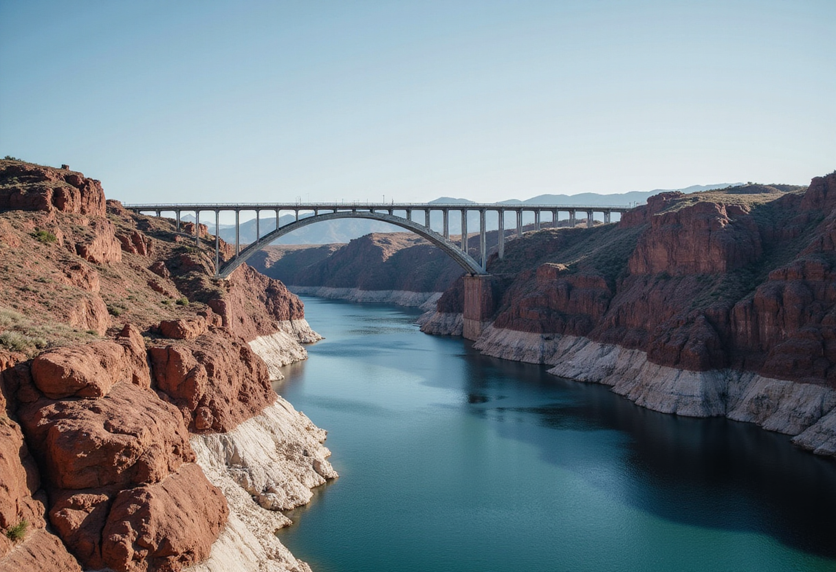
Lake Powell, the second-largest reservoir in the United States, has fallen to its lowest water level on record. By late August and early September 2026, the reservoir's surface stood at 3,517.24 feet — below its previous record low of 3,519.92 feet, set on April 13, 2023. Lake Mead, the largest U.S. reservoir and the next stop downstream on the Colorado River, also reached record-low levels in August.
The cause traces back to the winter of 2025–2026. An exceptionally dry and warm season left the Upper Colorado Basin with far too little mountain snow — a condition scientists call a "snow drought." Because much of the region is arid or semi-arid, the Colorado River depends heavily on snow that piles up at high elevations in winter and melts in spring and early summer. That snowmelt supplies a substantial share of the river's annual flow.
Record warmth made the situation worse by shrinking the snowpack even further. When spring arrived, melting snow delivered far less water to the reservoirs than usual, offering no relief for already depleted lakes.
Satellite Views Show the Change
Satellite images capture the dramatic transformation near Glen Canyon Dam. The Operational Land Imager (OLI) aboard the NASA-USGS Landsat 8 satellite photographed Lake Powell on September 1, 2017 — during one of its highest levels of the past decade — and again on September 10, 2026. The comparison reveals a sharply diminished lake.
Why It Matters
The Colorado River system, managed by the U.S. Bureau of Reclamation (USBR) and other agencies, supplies water and electricity across the Southwest. More than 40 million people depend on it, including residents of Las Vegas, Phoenix, Los Angeles, and San Diego. The river also irrigates roughly 5 million acres of farmland.
The stress is not new. Drought has persisted in the U.S. Southwest since around the beginning of the 21st century, a dry stretch so long and severe that experts describe it as a megadrought. It continues to place intense pressure on the region's limited water supplies.
Emergency Interventions
In April 2026, the USBR began emergency measures to stabilize Lake Powell and keep it above the elevation required to generate hydropower. Without intervention, the agency considered dropping below that threshold a realistic possibility by August 2026.
The response had three parts. USBR released extra water from Flaming Gorge Reservoir in northern Utah and southern Wyoming to boost Lake Powell. At the same time, officials reduced the amount of water flowing downstream from Lake Powell into Lake Mead.
The agency also made ecological trade-offs. It canceled a "controlled flood" planned for April that would have rebuilt sandbars used as fish habitat. In August, officials skipped a "cool mix" release — a pulse of colder water designed to help protect native species.
New Tools Help Water Managers Watch the Drought
As the megadrought grinds on, NASA-supported monitoring projects are giving decision-makers across the Colorado Basin more detailed, real-time information about drought conditions.
At the river's headwaters, a dashboard built around the Western Land Data Assimilation System (WLDAS) visualizes soil moisture, snow water equivalent (the amount of water contained in snowpack), and evapotranspiration — the combined loss of water from soil evaporation and plant transpiration. The dashboard supports Colorado's drought task force and feeds into the weekly U.S. Drought Monitor maps.
Closer to Lake Powell, the Drought Severity Evaluation Tool — co-developed with the Navajo Nation — lets tribal leaders track localized drought indicators, precipitation patterns, and vegetation health across their lands. With funding from NOAA's National Integrated Drought Information System, its adoption expanded to Oklahoma's Chickasaw and Choctaw Nations in 2025.
Arizona State University researchers, working with the Central Arizona Project, developed a third resource: the Colorado River Integrated Assessment tool. It combines improved modeling with NASA-satellite-validated measurements of snowpack, surface and groundwater storage, and soil moisture into a single interactive system covering the entire basin.
What Comes Next
The record lows at Lakes Powell and Mead mark another chapter in a decades-long water crisis. Whether emergency releases and reduced downstream flows can hold Lake Powell above hydropower levels will depend on future snowfall — and after a winter like 2025–2026, water managers across the Southwest are watching the mountains closely.
via carbonbrief.org (Original)
More from Priya Raman
Show full bio
Senior reporter covering industry trends and analytics at SciBeat.
57 articles
Nearby plates
- Perseverance Finds Early Mars Hosted Complex, Hot Water Systems
- Drought Now Weakens Even Switzerland's High-Altitude Protective Forests
- Antarctica Gained 695 Billion Tons of Ice. The Trigger Was Thousands of Miles Away
- Drones, Satellites and AI Team Up to Track Antarctica's Tiniest Life
- NASA Draws Lessons From Swift Boost Mission That Fell Short