Plate Nº 65 · recorded October 15, 2026
Earth & ClimateReported finding
New Landslide Type Sends Permafrost Slabs Downhill
Researchers propose a new landslide type after a 2018 slide in Canada's Northwest Territories left a 350-meter scar, with frozen slabs detaching downhill.
By Nathan Brooks2 min read478 words
In brief
- The 2018 Redstone River landslide in Canada's Northwest Territories left a scar 350 meters (1,150 feet) wide.
- Young et al. 2026 propose the slide represents a new type of landslide where permafrost slabs detach from underlying slopes.
- The findings were announced October 15, 2026, ahead of the 2026 AGU Annual meeting.
- The slide sent huge volumes of icy debris downhill, according to the researchers' adapted figure (Figure 2, Young et al. 2026).
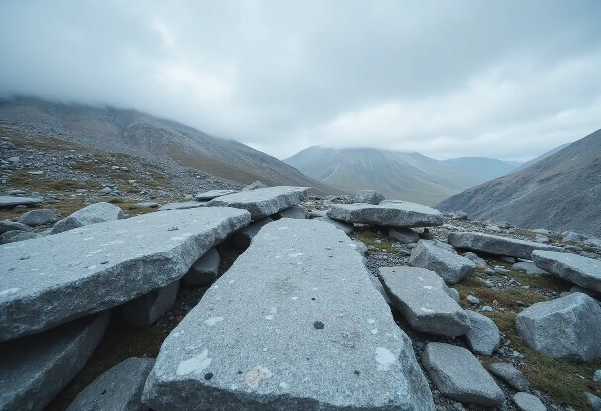
A 350-meter-wide (1,150-foot-wide) scar on a hillside above the Redstone River is the centerpiece of a new proposal: some landslides in Canada's frozen north work differently than scientists thought.
In a study published in 2026, researchers argue that the 2018 Redstone River landslide in Canada's Northwest Territories belongs to a previously unrecognized type of slope failure. Huge slabs of permafrost — ground that stays frozen year-round — detached from the underlying slope and slid downhill as massive volumes of icy debris.
The team, led by Young and colleagues, presented their findings in a 2026 paper, with an adapted figure from their study illustrating the slide's dimensions. The announcement came ahead of the 2026 AGU Annual meeting, for which press registration is currently open.
What makes this landslide different?
Conventional permafrost failures typically involve soil thawing, softening, and flowing downslope. The Redstone River event, by contrast, appears to have behaved more like a slab failure — rigid plates of frozen ground breaking free and careening down the hillside largely intact before disintegrating.
The numbers give a sense of scale. The scar stretches 350 meters across — roughly the length of three American football fields laid end to end. That width represents an enormous volume of frozen ground and ice that moved during a single event.
The researchers' adapted figure (Figure 2 of Young et al. 2026) shows the terrain before and after the slide, documenting the size of the detached zone.
Why does this matter now?
Identifying a new landslide type matters because it changes how scientists interpret similar scars elsewhere in permafrost terrain. If slabs of frozen ground can detach and race downhill without first thawing into mud, then existing hazard models may underestimate how quickly and how far these events can travel.
The Redstone River slide dates to 2018, giving researchers several years of post-event data to analyze. The 2026 publication marks the formal proposal of this failure mechanism.
It's worth keeping expectations in check, though. The researchers propose this classification based on their analysis of this event; additional studies of other slides will need to confirm whether the same slab-detachment process occurs widely, or whether Redstone River is an outlier.
What comes next?
The findings arrive as the American Geophysical Union prepares for its 2026 Annual meeting, where permafrost and cold-regions research typically features prominently. Press registration for that meeting is open now.
For communities and infrastructure in permafrost regions — roads, pipelines, and settlements built on ground long assumed stable — a new failure mode is a data point worth watching. Confirmation would mean reassessing which slopes are actually safe.
For now, the 350-meter scar above the Redstone River stands as the clearest evidence yet that frozen hillsides can fail in ways scientists hadn't catalogued.
Credit for imagery: Adapted from Young et al. 2026 (Figure 2).
via registration.experientevent.com (Original)
More from Nathan Brooks
Show full bio
Market editor covering companies, deals and strategy in general science news at SciBeat.
232 articles
Nearby plates
- 76 km² Ice Island Breaks Off Greenland's Petermann Glacier
- A Lost Kilometer-High Cliff May Explain the Grand Canyon's Missing Billion Years
- Pacific Northwest Subduction Zone Is Tearing Itself Apart
- 362 Hidden Earthquakes Detected Under Antarctica's Doomsday Glacier
- Arctic Sea Ice Ties for 10th-Lowest Minimum in 2026 Satellite Record