Plate Nº 67 · recorded November 12, 2026
Earth & ClimateReported finding
Indonesia's 2026 Fires Have Burned Nearly 2.9 Million Hectares
Satellite monitor Nusantara Atlas says 2.88 million hectares have burned in Indonesia in 2026, topping 2019 as the worst year on record — and the figure is still rising.
By Marcus Bennett3 min read621 words
In brief
- 2.88 million hectares (7.1 million acres) burned in Indonesia in 2026 through end of October, per Nusantara Atlas
- Burned area has grown nearly 1 million hectares since the monitor's September update and exceeds 2019's full-year record
- Government's last official figure was 202,000 hectares razed by end of July; no date set for an update
- Hundreds of thousands of people sickened by pollution; haze reached Malaysia and Singapore
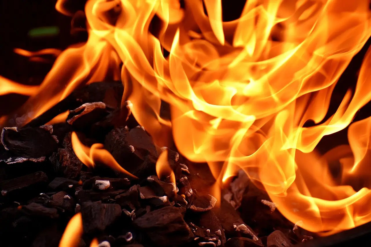
Fires in Indonesia have burned 2.88 million hectares (7.1 million acres) so far in 2026 — an area 18 times the size of London — according to satellite-analysis figures released on Wednesday by the deforestation monitoring site Nusantara Atlas.
The number has grown by nearly one million hectares (2.5 million acres) since the monitor's previous update in September, and it already exceeds the full-year total for 2019, the worst year on record in Nusantara Atlas data. The site's founder, David Gaveau, shared the figures with AFP and offered a blunt assessment of the season.
"Basically, it's a really bad year," Gaveau said.
How big is the estimate, and how solid?
The 2.88 million hectare figure covers burning detected through the end of October. It is a conservative estimate, Gaveau cautioned, because smoke has blocked satellites from seeing parts of the ground.
The total will likely climb further on two counts:
- Some fires are still burning, even though arriving rains have brought the worst blazes under control.
- Burn scars previously hidden by smoke should become visible to satellites in coming months.
Monitoring already shows the number of so-called hot spots — points where satellites detect heat from active fires — starting to flatten or decline as the rainy season takes hold.
Indonesia also suffered devastating fires in 2015, but the satellite imagery used at the time differed from today's, which makes a direct comparison between the two years difficult.
In short: the record-breaking figure is a floor, not a ceiling, and it may still rise.
What does the government say?
Indonesia's government has not released official burned-area figures since announcing that 202,000 hectares (499,000 acres) had been razed by the end of July. That official count now lags the satellite estimate by more than 2.6 million hectares.
Forestry ministry spokesman Ristianto Pribadi told AFP the government is still working on updated estimates of fire-affected land, without committing to a release date.
"Updating the data on the size of land and forest fires-affected areas requires in-depth confirmation and verification," Ristianto said. "At the moment, we cannot yet confirm a schedule for the announcement."
In short: official numbers are months behind, and no date exists for when they will catch up.
Why was this year so severe?
Indonesia experiences fires every dry season, but several forces stacked up in 2026.
An intense drought driven by the El Niño weather pattern — a warming of the Pacific Ocean surface that shifts rainfall patterns across the tropics — dried out vegetation and made landscapes easier to ignite.
Experts also point to longer-term causes. Decades of deforestation and the draining of peatlands — waterlogged, carbon-rich soils — for plantation agriculture have left large swaths of land dried out and far more vulnerable to fire. Once peat ignites, it can burn underground and release thick smoke for weeks.
In short: a strong climate pattern landed on land that decades of conversion had already primed to burn.
What has the damage been?
The fires have produced severe local pollution that has sickened hundreds of thousands of people, according to the report. Haze has also drifted across borders into neighboring countries, including Malaysia and Singapore, repeating a pattern familiar from previous major fire years in the region.
For practitioners tracking land-use change, the Nusantara Atlas numbers offer the most current independent benchmark available while official verification proceeds. The gap between the 202,000-hectare July figure and the 2.88-million-hectare satellite estimate shows how quickly the situation moved after mid-summer.
**The bottom line: 2026 is now the worst fire year in Nusantara Atlas' record, and the final burned area will only grow.
via phys.org/rss-feed/ (Source)
More from Marcus Bennett
Show full bio
News editor covering regulation, policy and their impact on general science news at SciBeat.
370 articles
Nearby plates
- Indonesia's Underground Peat Fires Are Surging Early in 2026
- NASA Finds 40% More Amazon Fires Than Satellites Officially Show
- Climate Change Tripled Iberia's Record 2025 Fire Burned Area
- Amazon Smoke Chokes Manaus as El Niño Fire Season Ignites Early
- Protecting Standing Amazon Forests Beats Restoration, Study Finds