Plate Nº 59 · recorded October 13, 2026
Earth & ClimateReported finding
Mediterranean Tsunami: Near 100% Probability in 30 Years, UNESCO Says
UNESCO warns of a near-certain 100% probability of a >1m Mediterranean tsunami within 30 years. Some could hit the French Riviera in under 10 minutes — before Cenalt's 15-minute alert even goes out.
By James Calloway4 min read752 words
In brief
- UNESCO's June 22, 2022 statement puts the probability of a >1m tsunami in the Mediterranean in the next 30 years at 'close to 100%'.
- Some Riviera waves could arrive in under 10 minutes; Cenalt takes 15 minutes to issue its first notice to authorities.
- Nice Côte d'Azur earned UNESCO Tsunami Ready recognition in June 2026, following Cannes (2024) and Deshaies, Guadeloupe (2023).
- The October 16, 1979 Nice port landslide killed 8 people and sent water up to 3.5 meters high and 150 meters inland.
- Tsunamis have killed more than 250,000 people globally since 1970, with the 2004 Indian Ocean and 2011 Japan events accounting for most deaths.
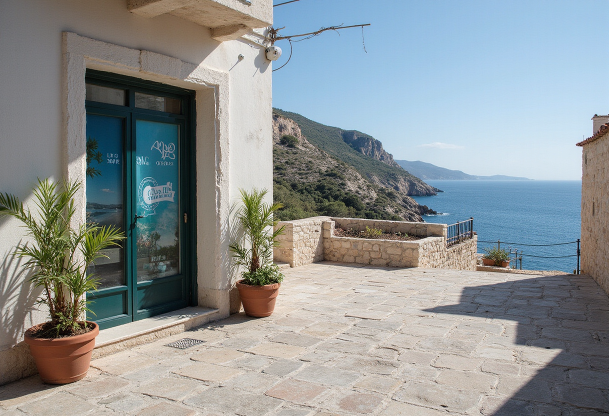
A tsunami wave taller than one meter has a probability "close to 100%" of striking somewhere in the Mediterranean within the next 30 years. UNESCO said exactly that on June 22, 2022. The phrase sounds abstract. It is not. Along the French Riviera, some local waves could reach shore in under 10 minutes — before France's national warning center finishes its first alert.
What does "close to 100%" actually mean?
It is a basin-wide figure, not a neighborhood one. The estimate covers any wave above one meter anywhere in the Mediterranean through roughly 2052. It is not a forecast that Nice gets hit. It is not a clock ticking toward a single catastrophic day. Read uncharitable, the line sounds like a doomsday prediction for the next beach over. Read carefully, it points to a long-term hazard that coastal cities must plan around.
The Mediterranean does carry the ingredients. Active faults run through the Ligurian Sea between Corsica and the Italian coast. To the south, the slow grind of the African and Eurasian plates can rupture off North Africa. Underwater landslides add a faster, more local trigger.
How fast could a Riviera wave actually arrive?
Possibly quicker than the alarm. France's Centre d'alerte aux tsunamis, Cenalt, has operated since July 2012. It issues its first notice to authorities within 15 minutes of a dangerous quake. Local scenarios off the Riviera leave half that time — some under 10 minutes.
History shows what that gap looks like:
- February 23, 1887, Ligurian Sea: a magnitude 6.5–6.8 earthquake dropped the sea by about one meter at Antibes and Cannes, stranding fishing boats, then drove two-meter waves ashore.
- October 16, 1979, Nice airport: a port construction site collapsed into the sea, killing eight. Water reached 3.5 meters in places and pushed 150 meters inland.
- May 21, 2003, Boumerdès, Algeria: a faraway quake sent its waves to the Riviera in roughly 75 minutes. Drops of 50 centimeters to 1.5 meters emptied harbors and damaged boats across eight marinas.
A tsunami need not resemble a towering wall. Some arrive as a rapid rise, repeated surges, or a fast-moving torrent with the force of several tons per square meter. Italy's National Institute of Geophysics and Volcanology flags that an amplitude of just 50 centimeters can be dangerous in the right conditions.
Why maps might outpace the sirens
Walking routes deserve the same urgency as seismographs. The University of Montpellier's geography team has built evacuation paths that account for slopes, walking speed, bottlenecks, and refuge sites. The French evacuation zone covers land below five meters in elevation and within 200 meters of shore, extending to 500 meters near river mouths.
The scale is sobering. Across the French Mediterranean — Corsica included — that zone wraps roughly 1,700 kilometers of coastline, 187 towns, and at least 164,000 year-round residents. At summer peak, planners add 835,000 beach users to the count. In the Nice Côte d'Azur metropolitan area alone, models estimate between 10,000 and 87,000 people on beaches depending on season and hour. Nearly 100 refuge sites now sit inside operational evacuation plans.
In June 2026, UNESCO designated Nice Côte d'Azur as Tsunami Ready — the third French community to earn that label, after Deshaies in Guadeloupe (2023) and Cannes (January 2024). The 12-indicator program grades risk mapping, preparedness, response plans, and 24/7 alert distribution. Recognition expires every four years unless renewed.
What should you actually do when the sea misbehaves?
Nice's published guidance is concrete:
- Move inland on foot when an alert fires or you feel long shaking
- Drivers: stop safely, abandon the car, walk
- During a quake, cover and protect yourself first, then evacuate
- Skip the impulse to watch the water
- Stay out of the zone until authorities clear it — later waves often run larger
A GNS Science review of Japan's 2011 disaster found a 96% survival rate among people in inundated areas who had trained and evacuated promptly. The same review warned that waiting for an official bulletin costs lives. Globally, tsunamis have killed more than 250,000 people since 1970 — the December 26, 2004 Indian Ocean disaster and the March 11, 2011 Japan tsunami account for most of that toll.
The uncomfortable math: a Riviera tsunami will not wait for Cenalt to finish dialing. The decisions that save lives — which street climbs, how fast to walk, where the refuge sits — get made before the sea tells you anything.
via ScienceDaily: Earth & Climate (Source)
More from James Calloway
Show full bio
Staff writer covering regulation, policy and their impact on general science news at SciBeat.
224 articles
Nearby plates
- Marine Heatwaves Hide Months of Extra Ocean Warming, Study Finds
- Two-thirds of flooded coastlines could host invasive species by 2100
- Rising Seas Threaten the World's Migratory Shorebirds
- Pacific Northwest Subduction Zone Is Tearing Itself Apart
- Cascadia megaquake could shake northern Oregon 17% harder than expected