Plate Nº 69 · recorded November 17, 2026
Space & AstronomyReported finding
Twenty-Nine Hidden Glaciers With 209-Meter Cliffs Found on Mars
Researchers identified 29 debris-covered glaciers with cliffs up to 209 meters high near Mars's Alba Mons volcano, possible remnants of a recent Martian ice age.
By Priya Raman3 min read686 words
In brief
- 29 debris-covered glacier deposits were identified inside craters near the Alba Mons volcano on Mars.
- The steepest glacier cliffs reach 209 meters (686 feet), with slopes extending up to 3 kilometers (1.9 miles).
- Researchers examined 738 craters using imagery from NASA's Mars Reconnaissance Orbiter and ESA's ExoMars Trace Gas Orbiter.
- The study was published in Earth and Planetary Science Letters in 2026.
- The glaciers may have formed during a recent colder, high-obliquity period in Mars's history.
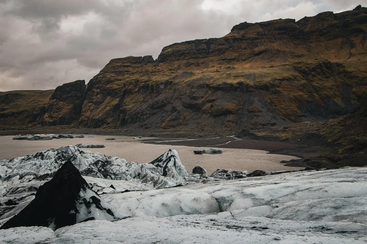
Twenty-nine glaciers, some ending in cliffs as high as 209 meters (686 feet), have been identified inside craters on Mars, and researchers believe they conceal ice that formed during a relatively recent colder period on the planet.
An international team spotted the structures near the Alba Mons volcano in the Martian northern hemisphere and published its analysis in Earth and Planetary Science Letters in 2026. The finding matters for two reasons: the deposits may preserve a readable record of past Martian ice ages, and they may point future astronaut missions toward water reserves hiding beneath the surface.
Mars sits far from Earth — almost 600 times farther away than the Moon — yet its geology continues to yield discoveries across that distance. The planet has a complicated history with ice and water. Its atmosphere is now too thin and cold for liquid water to survive, though surface ice remains abundant, especially around the poles, and scientists think substantial ice lies beneath the crust.
What exactly did the researchers find?
The team reports 29 deposits of glacier ice, each buried under rocks, dust, and other debris. That debris covering acts as protection against the atmosphere, shielding the ice from sublimation (the process by which solid ice passes directly into gas).
The structures are large. Their downward slopes extend as far as 3 kilometers (1.9 miles) in some cases, ending abruptly in sheer cliff faces. The researchers describe them as "lobate, pole-facing, steep-fronted ice-rich deposits within kilometer-scale fresh impact craters in the Alba Mons region, representing a previously undescribed glacial landform on Mars."
In other words, a landform type never before documented on the planet.
How were they detected?
The researchers worked from imagery captured by two spacecraft: NASA's Mars Reconnaissance Orbiter and the ESA ExoMars Trace Gas Orbiter. They examined a total of 738 craters, pairing satellite images to construct 3D maps of crater shapes.
Computer modeling then explored how these glaciers may have formed and how the geology should be interpreted. To check their reasoning, the team also compared the Martian features with similarly shaped landforms in Iceland, which they believe include Earth equivalents.
What do the glaciers reveal about Mars' climate?
The researchers link the deposits to Viscous Flow Features (VFFs), a family of ice-rich Martian landforms whose internal structure records climate history.
"Martian ice-rich landforms, generically referred to as Viscous Flow Features (VFFs), are key to understanding the Late Amazonian climate history of Mars, as its evolution may be recorded in the internal structure and dynamics of these deposits," they write in their paper.
Their modeling points to a specific origin. The glaciers, they conclude, "represent the remnants of ice deposits formed during a recent colder, high-obliquity period and preserved under favorable topographic conditions on pole-facing crater slopes." Obliquity refers to the tilt of a planet's rotational axis; Mars's tilt has shifted over history, changing temperature patterns and the movement of water and ice across the surface.
Some cliffs also show evidence of rocks falling from crater rims, traveling down slopes, and collecting at the bottom — a detail that helps the team read the deposits' history.
Why does this matter for future missions?
Any crewed mission to Mars will need local water. Knowing where ice sits and how deeply debris buries it is essential planning information, and the new study offers a significant step in that direction.
The analogy with Earth strengthens the interpretation. "This morphology has not been previously described for Martian debris-covered glaciers, but resembles the steep termini of some debris-covered or rock glaciers on Earth," the researchers write. A glacier's terminus is its downhill end.
Next steps could include collecting more detailed imagery of the Alba Mons area, searching for similar formations elsewhere on the planet, and another field trip to Iceland to examine the terrestrial equivalents.
The findings, the team writes, "underscore the critical roles of local topography and debris-ice interactions in governing the preservation, evolution, and geomorphic expression of ice-rich deposits on Mars."
The cliffs, in short, may hold both water and memory.
via sciencealert.com (Source)
More from Priya Raman
Show full bio
Senior reporter covering people, launches and day-to-day practice in general science news at SciBeat.
476 articles
Nearby plates
- Mars's Oddest Cloud May Be Even Odder Than We Thought
- Seafloor Mud Shows West Antarctic Ice Collapsed in Past Warm Spells
- Mars' North Pole Holds Far Less Dust Than Scientists Believed
- Ground Under West Antarctica Rising 2 Inches a Year, Model Shows Why
- Mars' 1,800-km cloud forms through rare 'exotic' physics