Plate Nº 41 · recorded November 13, 2026
Earth & ClimateReported finding
206 Landslide Zones Sit Underneath French Alpine Ski Resorts
A 2026 study maps 888 rock-slope deformations in the northern French Alps; 206 intersect ski resorts, and 43 sites show ongoing movement detectable from orbit.
By Priya Raman3 min read690 words
In brief
- Researchers identified 888 rock-slope deformation areas across the northern French Alps (Blondeau and Gunnell 2026).
- 206 of these zones intersect ski resorts, affecting 69 of the region's 116 ski areas.
- 86 percent of the Les Menuires ski area lies within a rock-slope deformation zone.
- Satellite InSAR analysis detected ongoing deformation at 43 of the 69 affected sites.
- The study appears in The Journal of Environmental Management, volume 419, article 131284, as open access.
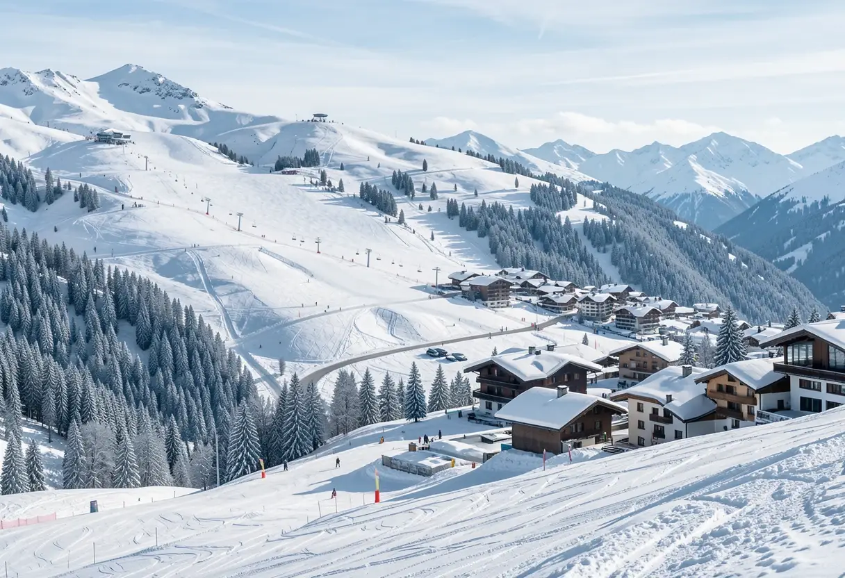
A new study has identified 206 zones of unstable rock mass that intersect ski resorts in the northern French Alps, affecting 69 of the region's 116 ski areas. The paper, by Blondeau and Gunnell and published in 2026 in The Journal of Environmental Management, is open access and offers the most systematic picture to date of a threat that sits, quite literally, beneath the boots of winter sports enthusiasts.
On a Google Earth image included in the study, the danger takes a visible form at Les Menuires: a landslide scar stretches up the slope above the resort town, plain to see from above. The authors calculate that 86 percent of the Les Menuires ski area lies within a zone of rock-slope deformation.
The findings arrive at an uncomfortable intersection. Skiing concentrates large numbers of people at high elevations in mountain terrain that is naturally prone to rock slope failures, and the frequency of those failures is rising as the climate warms. The study set out to understand how these two processes overlap, and what level of risk is developing where they do.
What did the researchers measure?
The paper focuses on what scientists call deep-seated gravitational slope deformation, which the authors term rock-slope deformation (RSD) — large masses of rock that shift slowly over very long timescales. In the authors' words, these areas "creep slowly for centuries or millennia but can eventually fail catastrophically, thereby presenting major threats to society."
Across the northern French Alps, Blondeau and Gunnell mapped 888 distinct RSD areas. Of those, 206 intersect the footprints of ski resorts, placing 69 of the 116 ski areas in the region within reach of a deforming rock mass. That is roughly six in ten of the region's ski destinations carrying some degree of geological overlap.
The scale of the phenomenon rewards a comparison. An RSD is not a sudden rockfall triggered by a single storm; it is a hillside-sized mass of rock behaving like a glacier of stone, creeping downslope with almost imperceptible slowness until, in some cases, it gives way all at once.
Which sites could actually fail?
Mapping deformation is one matter. Knowing which of the 206 zones might transition into a dangerous failure — anything from scattered rockfalls to a full rock avalanche (a rapidly moving collapse of fragmented rock) — is the question that matters for hazard management.
The authors point to InSAR (interferometric synthetic aperture radar, a satellite technique that measures ground movement by comparing radar images taken at different times) as a screening tool. Their analysis suggests that 43 of the 69 affected sites show ongoing deformation detectable by this method.
The authors are careful, however, not to present satellite detection as a complete answer. They note that effective hazard management would require a range of techniques rather than any single method, and the study itself is a survey of exposure rather than a forecast of when or how any particular slope might fail.
Why does this matter now?
The paper's deeper contribution is a demonstration of how risk evolves. Risk, in the language of hazard science, arises from the combination of a threat and the people exposed to it. Climate change is increasing the frequency of rock slope failures in high mountain areas at the same time as ski resorts continue to draw dense seasonal crowds to exactly those elevations. Neither ingredient is new; their overlap is what is growing.
The study covers only the northern French Alps, and its findings cannot be extrapolated mechanically to other ranges. But the mechanism it documents — shifting hazard meeting increasing vulnerability — applies wherever mountain tourism and unstable rock coincide, and the European Alps host skiing at a scale few other regions match.
Whether the 69 affected ski areas will see systematic monitoring, or the 43 actively deforming sites receive closer scrutiny, remains an open question. The paper, the authors suggest, should provoke exactly that conversation.
Reference: Blondeau, S. and Gunnell, Y. 2026. Sliding on landslides: A survey and assessment of environmental threats to ski areas situated on large failing rock masses in the French Alps. Journal of Environmental Management, 419, 131284.
via eos.org/feed (Source)
More from Priya Raman
Show full bio
Senior reporter covering people, launches and day-to-day practice in general science news at SciBeat.
378 articles