Plate Nº 37 · recorded November 18, 2026
Earth & ClimateReported finding
Chile Gets a Data-Driven Map for Where to Restore Its Ecosystems
A new Chilean model divides the country into 812,910 grid cells and finds 80.4% of priority restoration areas serve multiple ecological goals, reshuffling priorities when feasibility is counted.
By James Calloway4 min read771 words
In brief
- A multiobjective model divided continental Chile into 812,910 one-square-kilometer planning units.
- 80.4% of selected priority areas were multifunctional, serving more than one ecological objective.
- Adding an ecological feasibility criterion replaced 16.52% of planning units in a scenario covering 30% of national territory.
- The study was published in the Journal of Environmental Management in 2026 (DOI: 10.1016/j.jenvman.2026.131246).
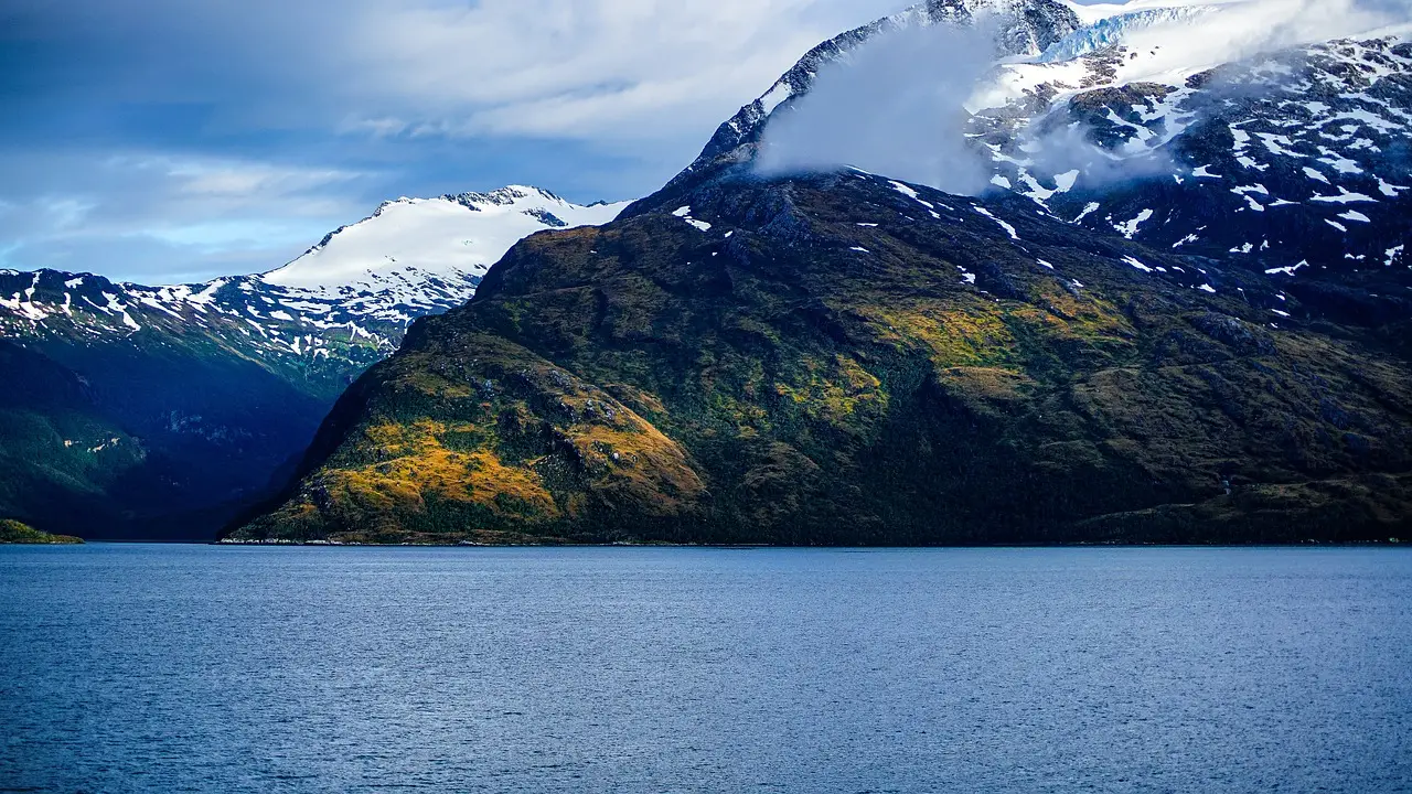
Eighty point four percent of the areas a new Chilean restoration model flagged as priorities serve more than one ecological goal at once. That single figure, from researchers at Chile's Institute of Ecology and Biodiversity (IEB), is the headline of a study published in the Journal of Environmental Management in 2026. The team built a multiobjective optimization model — in plain English, a mathematical tool that weighs competing goals simultaneously — to decide where large-scale ecological restoration would do the most good across continental Chile.
The stakes are straightforward. Native ecosystem loss threatens biodiversity and the benefits people get from nature, such as climate regulation and water quality. Restoration can reverse some of that damage. But it doesn't come free.
"These processes require financial and human resources, as well as time, all of which are limited," said Jessica Castillo-Mandujano, a postdoctoral researcher at the IEB and co-author of the study. "Identifying where to focus restoration efforts and how to make the best use of available resources has therefore become a key challenge."
How does the model actually work?
The research was led by Matías Moreno-Faguett, an industrial civil engineer from the University of Talca and an associate researcher at the Forest Science and Technology Centre of Catalonia, now completing a doctorate in the Mathematics Program at the University of Seville. His team included researchers from the IEB and other institutions: María José Martínez Harms, Bárbara Larraín, Olga Barbosa, Cecilia Smith, Aníbal Pauchard, Eduardo Álvarez Miranda, Eduardo Fuentes Lillo, Micaela Poutay and Patricio Pliscoff.
They divided continental Chile into 812,910 planning units, each one square kilometer (0.39 square miles). Then they ran mathematical optimization over four ecological objectives:
- reducing species extinction risk;
- prioritizing carbon stocks;
- restoring riparian areas — the vegetation zones along rivers and streams;
- assessing ecological feasibility, meaning whether recovery can actually be sustained over time.
That last objective is the study's most distinctive contribution. Ecological feasibility folds in three practical threats: exposure to recurrent wildfires, human pressure from roads and infrastructure, and the potential presence of invasive species. "An area may be extremely important for biodiversity conservation but also be exposed to threats that make its recovery more difficult," Castillo explained.
What changes when feasibility enters the picture?
Plenty. In an illustrative scenario covering a planning area equal to 30% of Chile's national territory, adding the feasibility criterion replaced 16.52% of the planning units the model had previously selected. There's a trade-off, though, and the authors don't hide it. The swap improved performance on feasibility and extinction-risk reduction, but reduced performance on carbon stocks and riparian restoration.
The lesson is blunt: different restoration objectives don't converge on the same ground. Prioritization means choosing which benefits you're actually after. "We can add or remove elements and see what happens," Moreno said of the model's scenario-testing capability.
Geography matters too, and the findings split cleanly along Chile's north-south axis. Northern sites contributed mainly to feasibility, thanks to fewer wildfires and invasive species. Central Chile prioritized extinction-risk reduction, facing heavier human pressure. Southern sites stood out for carbon stocks in wetlands, fjords, forests and peatlands.
"Protecting and restoring ecosystems in the Atacama Desert is very different from doing so in the fjords of Patagonia," said Álvarez, also an industrial civil engineer and professor at the University of Talca. Chile's existing restoration initiatives, he noted, tend to be fragmented — this model looks at the country whole.
What does this change for actual policy?
Here's the honest caveat. The model is decision support, not a shovel-ready intervention plan. Implementation still requires local information, cost assessments, land tenure conditions and stakeholder participation. "Ideally, the map would be examined together with specialists," Moreno said. "It is also important to involve communities, political stakeholders, Indigenous peoples and other groups."
The authors also concede the model's recommendations depend on the quality of the available data and on validation in the specific context where it's applied. Flexible, yes. Infallible, no.
Still, Álvarez argues the tool has a concrete policy use. With adjustments, he said, it could support decision-making at Chile's Biodiversity and Protected Areas Service (SBAP), especially given the country's international conservation commitments. "Now that we have this new institutional framework and the international commitments we have undertaken, it is important that conservation decisions be based on appropriate information," he concluded.
For a country stretched between desert and glacier, with limited restoration budgets, a map that shows where one project can serve three goals is a reasonable place to start the argument.
via phys.org/rss-feed/ (Source)
More from James Calloway
Show full bio
Staff writer covering regulation, policy and their impact on general science news at SciBeat.
473 articles
Nearby plates
- Protecting Standing Amazon Forests Beats Restoration, Study Finds
- Land-Based Climate Action Could Cut Carbon Price From $400 to $130
- Kazakhstan Ranks Third Globally in Land Restoration at 8.13 Million Hectares
- Just 9% of Major Companies Use Biodiversity Indicators, Study Finds
- COP17 Delivers $2 Billion in New Funding to Reverse Nature Loss