Plate Nº 62 · recorded November 17, 2026
Earth & ClimateReported finding
Drone laser survey finds three unregistered Aboriginal rock shelters
Drone-mounted laser mapping helped teams confirm six known Aboriginal shelters and document three unregistered sites in Australia’s Blue Mountains, where only an estimated 10% has been surveyed.
By Elena Vasquez4 min read768 words
In brief
- Three previously unregistered Aboriginal rock-art shelters were documented in the Blue Mountains.
- More than 200 shelters are recorded, but only an estimated 10% of the region has been surveyed.
- Field checks confirmed six registered shelters and produced more accurate coordinates than AHIMS.
- All three new shelters contain stone artifacts and rock art, including red hand stencils.
- The project received $248,610 in 2023-24; its Remote Sensing paper is dated 11 October 2026.
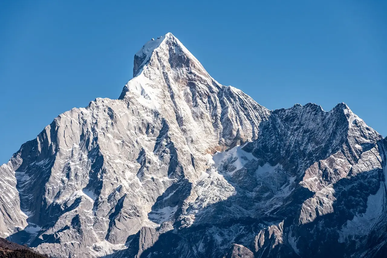
Drone-mounted laser surveys helped locate three previously unregistered Aboriginal rock-art shelters in Australia’s Blue Mountains, where more than 200 shelters are known but only an estimated 10 percent of the region has been surveyed.
Rugged terrain and dense bushland make ground searches for Aboriginal cultural sites slow, difficult and expensive. That constraint shaped the Gulamada Project, a collaboration among the University of Sydney, the Australian Museum and the Dharug Custodian Aboriginal Corporation.
Dr. Amy Mosig Way, a research archaeologist at both institutions, said the recorded shelters contain cultural and archaeological evidence. She also led teams of students and volunteers who checked possible sites in the field.
What did the surveys find?
The drone surveys identified potential rock shelters. Way’s teams verified their locations and assessed whether they held cultural material.
The checks confirmed six registered shelters and documented three that had never been registered. The new records contain stone artifacts and rock art, including red hand stencils.
Way called the student opportunities one of the project’s most rewarding aspects. It gives students hands-on experience in cultural heritage research through a community-centered effort.
The drones narrowed the search, while people on the ground confirmed what was there.
How does laser mapping work?
LiDAR, short for Light Detection and Ranging, uses laser pulses to create detailed three-dimensional maps of the landscape. From the air, it helps researchers detect features hidden beneath bushland and tree cover.
The project also produced much more accurate shelter coordinates than entries in the official New South Wales sites register, the Aboriginal Heritage Information Management System, or AHIMS.
Dr. Jacob Bongers said: “This work is exciting because it offers an efficient and accurate way to locate sites in rugged environments, which are notoriously arduous, expensive and time-consuming to survey.”
Bongers is the drone study’s lead author and a digital archaeologist at the University of Sydney. He is also a former AMF/AMRI Visiting Research Fellow at the Australian Museum.
The study appeared in Remote Sensing. The paper, “LiDAR-Assisted Survey Locates Unregistered Rock Shelters in the Blue Mountains, Australia,” is dated 11 October 2026. Its authors are Jacob L. Bongers, Wayne Brennan, Erin Wilkins, Lauren Roach, Emily Nutman, Joseph W. Lehner and Amy Mosig Way. Its DOI is 10.3390/rs18203495.
Laser mapping gives researchers better locations, but field checks still establish what is there.
How does the community partnership guide the work?
The Gulamada Project is co-directed by Way and Wayne Brennan, an Indigenous rock art expert at the University of Sydney. Its “walking side by side” principle joins scientific knowledge with First Nations cultural knowledge to understand and care for Country.
At the confirmed shelters, Brennan and Erin Wilkins of the Dharug Custodian Aboriginal Corporation led the rock-art recording. Brennan used “nexus” to mean a connection between science and culture.
Brennan said: “From the outset, our vision for the Gulamada Project has been to create a true nexus of science and culture. This work highlights the importance of listening, learning and working together.”
Federal Member for Macquarie Susan Templeman, whose electorate includes the Blue Mountains, said the project shows the power of combining First Nations knowledge with new technology to understand and protect cultural heritage. She was proud that the Australian Government’s First Nations Heritage Grants program supports Gulamada.
She described the Blue Mountains as already renowned for extraordinary natural and cultural significance within its rugged landscapes.
The grant-backed project, “The Gulamada Project: Walking side by side: A Nexus of Science and Culture,” received $248,610 under the 2023-24 program. Department of Climate Change, Energy, the Environment and Water grant FNHI000045 went to Way and Brennan at the University of Sydney, with Wilkins of the Dharug Custodians Aboriginal Corporation.
Scientific and First Nations knowledge guide the project together.
Can faster searches protect more sites?
The team says the method can help Aboriginal communities, archaeologists and heritage managers search large areas of difficult terrain faster than traditional ground surveys. It is intended to work alongside existing cultural knowledge and practices.
Used this way, the approach could help communities locate, document, manage and protect sites before development, erosion, bushfires or other threats affect them.
Bongers said the methodology is already expanding the record of Aboriginal cultural sites in the Blue Mountains and could apply in other regions. Researchers plan to work with Aboriginal communities to test and adapt it in the tropical savannas of western Arnhem Land and the semi-arid landscapes of western New South Wales.
The method may speed heritage work elsewhere, though communities still need to test it.
via google.com (Original)
More from Elena Vasquez
Show full bio
Correspondent covering money, funding and market shifts around general science news at SciBeat.
503 articles
Nearby plates
- Undersea Canyons and a Rising Sea Preserved Earth's Oldest Animals
- CSIRO's New Satellite Map Reads 200+ Light Bands to Find Australia's Ore
- Half a Million Years Ago, Humans May Have Kept Souvenirs
- Child Fingerprints on 15,000-Year-Old Clay Figurines
- Keepsakes May Date Back Half a Million Years, Study Claims