Plate Nº 28 · recorded November 17, 2026
Earth & ClimateReported finding
Greenland Slopes Hold 400 Million Cubic Meters of Tsunami-Causing Rock
Scientists map two unstable Greenland slopes holding up to 400 million cubic meters of rock, warning that failure could send tsunamis far across the fjord system within minutes.
By Priya Raman3 min read668 words
In brief
- The 2017 Karrat Fjord landslide released up to 58 million cubic meters of rock, killing four people in Nuugaatsiaq with a 10-meter tsunami run-up.
- A slope in Karrat Fjord contains an estimated 400 million cubic meters of unstable material across 2.65 million square meters above sea level.
- A collapse of the Kangerluarsuk slope could send a 3-to-7-meter run-up to Ukkusissat, 25 kilometers away, just 6 minutes after the landslide.
- A full Karrat slope failure could produce run-up exceeding 10 meters more than 100 kilometers away.
- Researchers link rising Arctic landslide and tsunami risk to permafrost thaw driven by global warming.
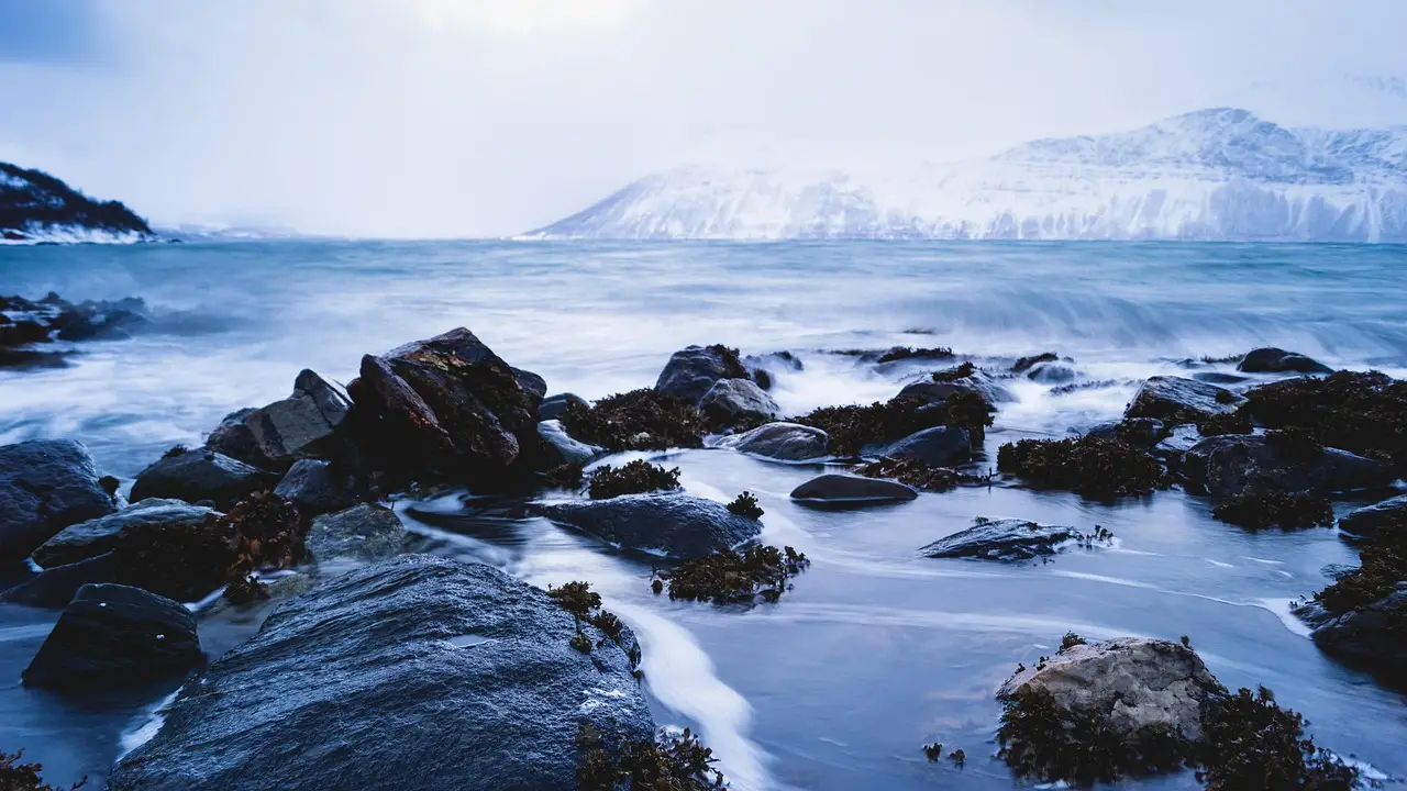
A slope in western Greenland holds an estimated 400 million cubic meters of loose rock above the waterline — one of the largest mapped active unstable slopes on Earth — and scientists warn it could eventually collapse into the sea and send a tsunami across an entire fjord system.
The warning follows a pattern the region has already suffered. In June 2017, a landslide on Ummiammakku Mountain in Karrat Fjord released up to 58 million cubic meters of rock. The plunge generated a tsunami that struck the village of Nuugaatsiaq with a run-up (the maximum height a wave reaches above sea level as it floods land) of roughly 10 meters, or 33 feet. Four residents died and nine were injured. The village still sits abandoned.
Now geologist Marie Keiding and colleagues at the Geological Survey of Denmark and Greenland and the Norwegian Geotechnical Institute have analyzed two newly identified unstable slopes in the Uummannaq Fjord system. Their findings appear in the journal Communications Earth & Environment.
What did the researchers find?
The team identified two distinct hazards:
- Karrat Fjord: a large unstable slope just 3 kilometers (1.9 miles) west of the 2017 landslide, spanning 2.65 million square meters above sea level and containing an estimated 400 million cubic meters of material.
- Kangerluarsuk Fjord: a smaller but, in the authors' words, "yet more imminent" slope, which a landslide would displace by around 30 million cubic meters of mountain.
The smaller slope worries the researchers most in the near term. Before 2015 it was barely visible. Since then it has developed very quickly, and the deformation may even be accelerating.
"It is likely to fail in whole or in parts within the next few years or decades as a translational rockslide, although the timing of this remains very uncertain," the team writes. A translational rockslide is one in which the collapsing mass slides down and outward along a more or less flat plane of weakness in the rock.
Who is in the wave's path?
If the Kangerluarsuk slope fails, the models indicate a tsunami run-up of 3 to 7 meters at the settlement of Ukkusissat, roughly 25 kilometers away. The wave would need just six minutes to arrive — a window that leaves little time for warning, and a pace comparable to a fast ferry crossing a harbor.
The larger Karrat slope behaves differently. Its deep-seated deformation is long-term and relatively slow, and the researchers hedge their language carefully. "While the deep-seated deformation of the Karrat unstable slope appears to be long-term and relatively slow, a collapse of the entire unstable slope cannot be excluded," they write.
If that worst case occurs, the consequences would reach far beyond one village. "Such a failure could generate a tsunami with run-up exceeding 10 meters more than 100 kilometers away, demonstrating the far-reaching impact of such an event," the authors write. Waves as tall as telephone poles could ricochet through the whole Uummannaq Fjord system.
Why is this happening now?
Landslides are an ordinary process in fjords; steep walls of fractured rock shed material constantly. But Keiding and her colleagues point to a changing climate as a likely driver of the growing risk. Thawing permafrost (permanently frozen ground that can bond rock slopes together) is thought to be loosening Arctic mountainsides that previously held firm.
"These slopes and the tsunamis they may cause illustrate an emerging hazard in Arctic and high-mountain areas, where progressive permafrost degradation associated with global warming will increase the frequency and magnitude of such events," the team concludes.
The study carries clear caveats. The researchers cannot say precisely when either slope will fail, and their run-up figures are model-based estimates rather than forecasts of a specific event. What the 2017 disaster demonstrated, however, is that when rock meets fjord water in Greenland, the waves arrive fast and the warning time is measured in minutes.
The slopes are still standing. The question the researchers leave open is for how long.
via sciencealert.com (Source)
More from Priya Raman
Show full bio
Senior reporter covering people, launches and day-to-day practice in general science news at SciBeat.
476 articles