Plate Nº 88 · recorded November 9, 2026
Earth & ClimateReported finding
US Wildfire Building Losses Could Nearly Triple by 2060
Nearly 449,100 US buildings could be damaged or destroyed by wildfires by 2060 under a moderate-climate-action scenario, a new CU Boulder study projects.
By Elena Vasquez3 min read689 words
In brief
- Wildfire damage to US buildings could reach nearly three times the recent rate by 2060.
- Up to roughly 449,100 buildings could be damaged or destroyed in the projected period.
- The study reconstructed risk from 1945 to 2023 using records of burned areas, development, and fire damage.
- The fastest projected risk growth is in central US grasslands and prairies; the West keeps the largest share of losses.
- About 30% of Western census areas with the greatest projected risk increases already face poverty and high housing costs.
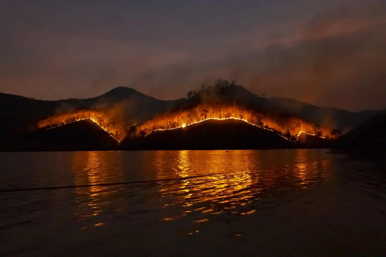
Wildfires could damage or destroy buildings in the United States at nearly three times the recent rate by 2060. That's the headline projection from a new study, and it assumes moderate climate action with no new fire protections put in place.
The number at the center of the paper is stark: as many as roughly 449,100 buildings could be damaged or destroyed over the projected period. Virginia Iglesinas and colleagues at the University of Colorado Boulder reported the findings in Nature Communications.
The projected losses aren't spread evenly. The West faces the largest number of losses overall, but the sharpest growth in risk shows up in the central states.
That distinction matters. Communities with little history of destructive fires could still face fast-rising danger. A region's past losses, the researchers found, may give only a partial picture of the risk its residents actually face.
How did the researchers build the projection?
The team reconstructed wildfire risk to buildings from 1945 to 2023. They drew on three kinds of records: areas burned, building development, and documented fire damage.
Then they combined that history with data on weather, climate, and housing density to estimate losses through 2060. The result is a long-run view of how fire risk and the built environment have interacted — and where they might collide next.
The takeaway: history alone is a shaky guide to future wildfire losses.
Where does the risk grow fastest?
The regional pattern breaks into three broad stories:
- The West still accounts for the largest share of projected damage, reflecting how much development is already exposed there.
- The central United States sees some of the fastest projected increases, driven by fires in grasslands and prairies.
- Eastern communities generally show smaller increases, but fires can still be highly destructive where they encounter vulnerable buildings.
The plains and prairies story deserves attention. Grass fires move differently than forest fires, and the central states haven't historically anchored the national picture of wildfire loss.
In short: the wildfire problem is no longer just a Western problem.
Who is most exposed to the damage?
The study also looked at who might struggle most to cope. In the West, roughly 30% of the census areas projected to see the greatest increases in risk already face poverty and high housing costs relative to income.
That overlap compounds the danger. Preparing for fire, repairing damage, or finding a new place to live all take resources. Where homes are already expensive to maintain, building upgrades can be harder to afford — even when residents understand the danger they face.
The plain version: the places facing rising fire risk often have the least money to do something about it.
What could change the outcome?
The 449,100-building estimate comes with clear caveats. It depends on assumptions about future development, climate, and how communities prepare. Changes in any of those conditions could shift both the number of buildings in danger and the places where losses concentrate.
The researchers note the projections can help planners compare options, including:
- Stronger building standards
- Changes to where new homes go
- Work to reduce fuels near existing communities
Those choices can matter alongside the pace of climate action itself. The study shows why reducing damage depends on two things at once: the way fires spread, and the way people build, prepare, and recover.
The bottom line for planners: development decisions made today shape who gets hit tomorrow.
What are the study's limits?
This is a projection under one specific scenario, not a forecast carved in stone. The scenario assumes moderate climate action and no new fire protections — a deliberately informative baseline rather than a prediction of what will actually happen.
The study gives communities a view of where losses could grow under those conditions. It doesn't claim to know how policy, building practices, or development patterns will shift in the coming decades.
Still, the direction of travel is clear. Fire risk to buildings is on track to climb, the fastest growth may surprise the central states, and the communities least able to pay are often the ones most in the path.
via knowridge.com (Source)
More from Elena Vasquez
Show full bio
Correspondent covering money, funding and market shifts around general science news at SciBeat.
384 articles
Nearby plates
- Climate Change Tripled Iberia's Record 2025 Fire Burned Area
- Trump Targets Forest and Wildfire Research as Western Fires Loom
- Africa's Dry Season Has Shrunk Since 1990 — And So Has Its Wildfire Burn Area
- Protecting Standing Amazon Forests Beats Restoration, Study Finds
- Better Hurricane Maps Help People See Risk but Not Feel It