Plate Nº 81 · recorded November 16, 2026
Earth & ClimateReported finding
Satellite Radar Can Track Lava Flows — With Caveats, Study Finds
SAR backscatter from COSMO-SkyMed satellites tracked lava movement, lava lake perimeters and crater collapse at Kīlauea between 2010 and 2013, a new study reports — with caveats.
By James Calloway3 min read652 words
In brief
- Researchers analyzed 167 ascending and 105 descending COSMO-SkyMed radar images of Kīlauea's Puʻuʻōʻō eruptions from August 2010 to December 2013.
- SAR backscatter measurements generally matched observed eruption events, revealing lava lake perimeters, vents and internal structures.
- Radar shadow measurements captured crater floor height changes, including major collapse and inflation.
- The study by Dualeh et al. appeared in the Journal of Geophysical Research: Solid Earth in 2026.
- Usefulness is limited by satellite resolution, noise, and natural surface changes, the authors caution.
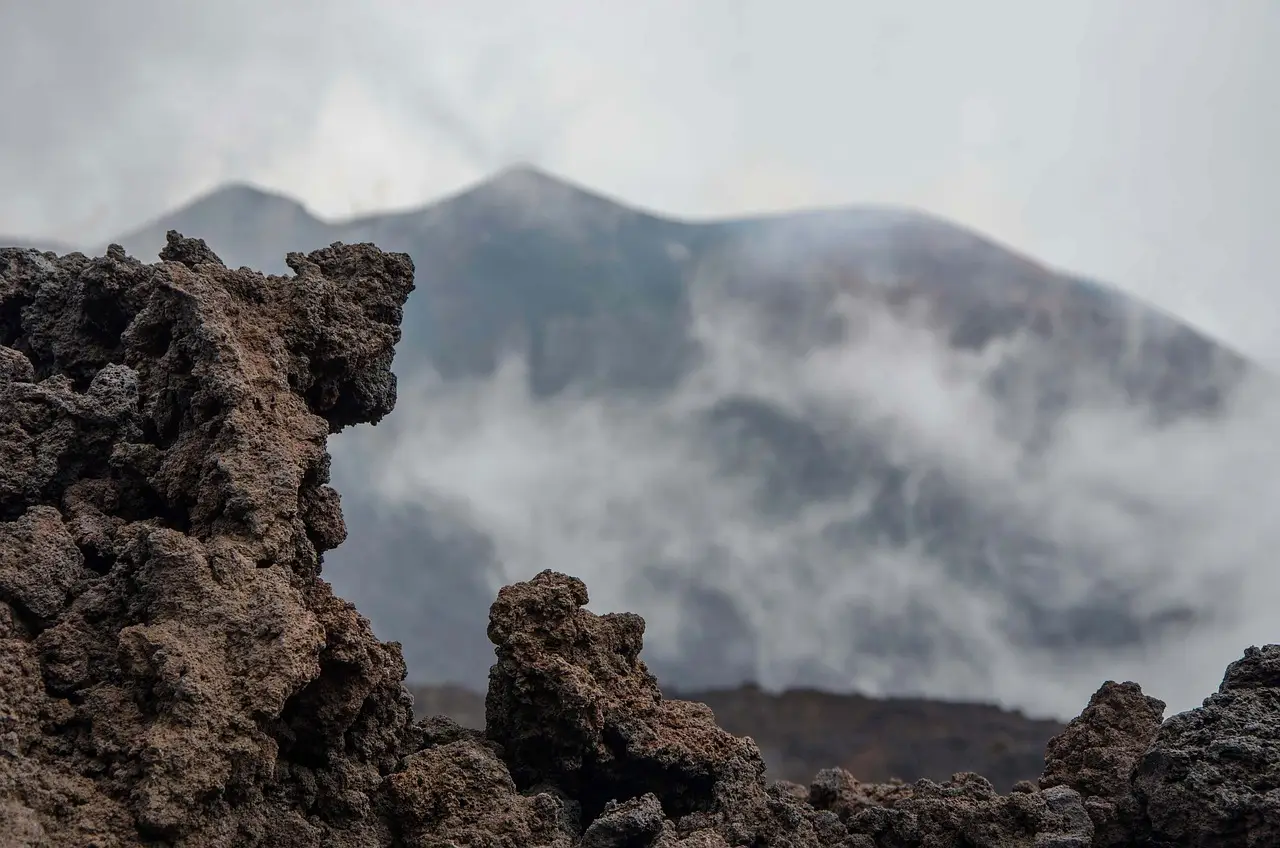
Radar from an Italian satellite constellation tracked lava movement, lava lake size, and crater floor changes at Kīlauea volcano with results that, in most cases, matched what observers recorded on the ground. That's the headline finding of a study by Dualeh et al., published in 2026 in the Journal of Geophysical Research: Solid Earth, which tested an underused trick in volcano monitoring on one of the most instrumented volcanoes on Earth.
The tool is called synthetic aperture radar, or SAR. In plain terms, a satellite fires radar pulses at the ground and records what bounces back. Because radar penetrates clouds, volcanic plumes, and darkness, it can watch an eruption when human observers and ordinary cameras cannot. Scientists already use a SAR technique called interferometry to measure how the ground deforms. But this study focused on something different: backscatter, the strength and character of the raw returning signal.
Backscatter responds to how rough the surface is and how its slopes change — exactly the sorts of things a fresh lava flow alters. The catch? Nobody uses it much, because interpreting what a shift in the signal means in physical terms is genuinely hard. A rougher surface returns more energy. But so can other things. That ambiguity is why the team needed a test bed with reliable ground truth.
Why Kīlauea?
Kīlauea, on the Big Island of Hawaiʻi, is very active and densely instrumented. Decades of monitoring stations there have produced detailed geochemical, geological, and geophysical datasets — a rare library that lets researchers check satellite readings against known facts. The team, led by Dualeh, ran a retrospective analysis of a stretch of the decades-long eruption at Puʻuʻōʻō, part of Kīlauea's East Rift Zone, covering August 2010 through December 2013.
They worked through 167 ascending and 105 descending images from the COSMO-SkyMed satellites — an Italian constellation whose radar watched the lava flows and a lava lake at Puʻuʻōʻō's crater. The results, they report, generally matched the observed events. That word "generally" deserves emphasis. This was a look backward at a well-documented eruption, not a live forecast test.
What did the radar actually see?
The payoffs were concrete, according to the study:
- Radar shadows — areas the satellite's angle hides from view — revealed changes in crater floor height, including major collapse events and inflation of the floor.
- Backscatter patterns sketched out lava lake perimeters.
- The same data pinpointed internal structures and vents inside the lava lake, features that would otherwise demand a close, and dangerous, look.
What does this change for volcano monitoring?
The practical question is whether this helps eruptions elsewhere, at volcanoes without Kīlauea's dense sensor networks. The researchers' answer is a careful yes: SAR backscatter can serve as a complementary dataset for monitoring effusive eruptions — the slow, flowing kind — where other technology falls short or where ground conditions make direct observation difficult or dangerous.
Effusive eruptions reshape whole landscapes with slow-moving lava. Yet monitoring a developing flow field is risky work, complicated by escaping gases, cloud cover, access problems, and limited local resources. A satellite that sees through all of that, at night and through plumes, fills a real gap.
The fine print
Every promise here comes with caveats, and the authors list theirs plainly. The technique's usefulness is limited by:
- Satellite resolution — coarse pixels can't resolve small features.
- Noise levels in the radar data.
- Natural changes on the surface that have nothing to do with lava.
And a retrospective study on one exceptionally well-instrumented volcano is a proof of concept, not a demonstration of readiness for a poorly monitored one. Backscatter interpretation remains tricky precisely because so many physical processes move the same signal. Still, a method that tracked crater collapse, lava lake perimeters, and vent locations from orbit, through clouds, at night, is worth watching. The next test will be whether it performs where the ground truth doesn't already exist.
via eos.org/feed (Source)
More from James Calloway
Show full bio
Staff writer covering regulation, policy and their impact on general science news at SciBeat.
398 articles
Nearby plates
- US-India Satellite Watches a Sleeping Kamchatka Volcano Wake
- Lab Tests Overestimate Volcanic Tsunamis, Stromboli Study Finds
- NASA Backs Mission to Probe Mysterious Moon Pit for Hidden Cave
- Study suggests Earth’s core carbon came from outer solar system
- Two Hidden Magma Reservoirs Found Beneath Nicaragua's Masaya Volcano