Plate Nº 34 · recorded November 10, 2026
Earth & ClimateReported finding
Kneaded Like Dough for 200 Million Years: The Making of Iran and Afghanistan
A new reconstruction traces 200 million years of collisions that built Iran, Afghanistan and the Pamirs — and explains the Red Sea, Persian Gulf and Strait of Hormuz.
By Marcus Bennett3 min read664 words
In brief
- The study reconstructs 200 million years of tectonic history across Iran, Afghanistan and the Pamir Mountains
- Blocks broke from Arabia 270 million years ago and collided with Europe about 50 million years later
- Afghanistan formed from crust squeezed westward out of the Tibetan Plateau into Iran
- Arabia's collision and rotation tore it from Africa, forming the Red Sea, the Persian Gulf and the Strait of Hormuz
- Published in Gondwana Research (2026), DOI: 10.1016/j.gr.2026.10.004
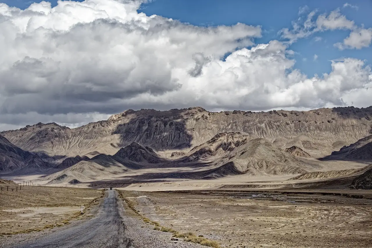
For some 200 million years, the region spanning Iran, Afghanistan and the Pamir Mountains has been "kneaded like dough" by colliding continents — and researchers have now reconstructed that history in detail, publishing their results in the journal Gondwana Research (DOI: 10.1016/j.gr.2026.10.004).
The study, led by Dr. Nalan Lom of the University of Central Asia in Khorog, Tajikistan, together with co-author Professor Douwe van Hinsbergen of Utrecht University, shows that a region often described as a cultural crossroads is a geological one too. "Culturally, the region lies at the crossroads of European, Central Asian, East Asian, Indian and Arab influences," the researchers note. "Our reconstruction shows that the same is true geologically."
Why does this corner of Asia look the way it does?
The short answer: a chain of collisions spanning more than 250 million years. The story begins 270 million years ago, when blocks that broke away from Arabia drifted north and slammed into Europe roughly 50 million years later.
The next act explains Afghanistan itself. "Afghanistan consists of an enormous piece of crust that was squeezed westward out of the Tibetan Plateau, into Iran," Van Hinsbergen said. Once that extrusion finished, the collision with India compressed the whole area again.
Then Arabia arrived from the southwest — and that collision reshaped the map in ways still visible today:
- The Arabian continent first struck northwestern Iran, while ocean crust of the Arabian plate kept subducting — diving down into the mantle — beneath Iran and Pakistan.
- That persistent pulling rotated Arabia and tore it away from Africa, opening the Red Sea.
- In the collision zone near Iran, the Arabian continent pushed down slightly, creating the Persian Gulf.
- A crescent-shaped mountain range on the plate's southeastern edge, running through Oman, bent where it was forced down — forming the Strait of Hormuz. "The small islands in that strait are the peaks of the drowned mountain range," Van Hinsbergen said.
What did the region look like before?
To rebuild the past, Lom and her colleagues combed through decades of geological literature, hunting for old fault systems, rotated pieces of crust, and the remains of small ancient oceanic basins in Iran. "You wouldn't think so, but it once looked a bit like the western Mediterranean, with deep-sea basins between Afghanistan and western Iran," Lom said.
She offers a thought experiment: if Turkey and Greece were pushed all the way against Spain, the first two would resemble present-day Afghanistan, while Italy, Sardinia and Corsica would become something like today's Iran.
The team fed this evidence into GPlates, an advanced plate-reconstruction software package, to rewind the tectonic clock step by step. "This software also came in very handy in the case of Iran, Afghanistan and the Pamir Mountains," Lom said.
The Pamirs, which form the western edge of the Tibetan Plateau, completed the study area. "The entire region, from the Pamirs to Iran, has a very complex geological history," she said.
What does the reconstruction do for practitioners?
The work sits in a series of major reconstructions led by Van Hinsbergen, including those of the lost continents of Greater Adria and Argoland and the lost megaplate Pontus.
The practical payoff runs in two directions. These plate-tectonic "highways" are exactly where the processes that form minerals and metal ores take place — a point of direct interest in a region long known for its raw-material wealth, and relevant to the search for resources needed for the energy transition. The same reconstructions also sharpen our picture of earthquake hazard, since they map the deep faults and crustal blocks that still move today.
As Van Hinsbergen puts it, this kind of earth-science puzzle work explains "how Earth's current surface came into being" — and, in this case, why the Persian Gulf bends and the Strait of Hormuz exists at all.
Publication: Nalan Lom et al., "Reconstructing extension, subduction, and lateral extrusion in the Central Tethysides (Iran, Afghanistan)," Gondwana Research (2026).
via phys.org/rss-feed/ (Source)
More from Marcus Bennett
Show full bio
News editor covering regulation, policy and their impact on general science news at SciBeat.
370 articles
Nearby plates
- Hidden 100-Million-Year-Old Volcanic Arc Discovered in Iran
- 55 Ancient Lakes, Zero Human Traces: Arabia's Desert Keeps Its Secret
- Ancient Rocks Mark a Shift Toward Modern Plate Tectonics
- Mantle Motion Explains the Grand Canyon's Missing Billion Years
- A Lost Kilometer-High Cliff May Explain the Grand Canyon's Missing Billion Years